×

|
Rate it:
Tags:
Level: Easiest
Length: 33 mi (53.1 km)
Surface: Doubletrack
Configuration: Lariat
Elevation: -
Total: 3 riders
Mountain Biking Grapevine Canyon
#622 of 1,005 mountain bike trails in California
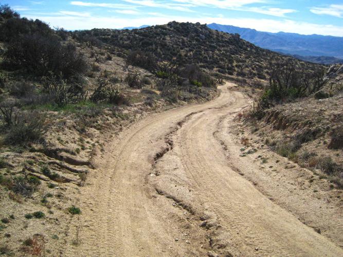
Take Grapevine Canyon 14 miles to the S22, turn right, follow until you get to Jasper Trail just past the Park sign, go right and follow back to Grapevine Canyon.
First added by Eric Foltz on Jan 18, 2014. Last updated Apr 28, 2020. → add an update
Before you go
- Drinking water: unknown
- Lift service: unknown
- Night riding: unknown
- Pump track: unknown
- Restrooms: unknown
- Fat bike grooming: unknown
- E-bikes allowed: unknown
- Fee required: unknown
This trail information is user-generated. Help improve this information by suggesting a correction.
From Julian, head east on the 78 to the Tamarisk CG.

This is remote desert riding so come prepared. If anything goes wrong, it may take a while for them to find your body. Good climb with some sand followed by a short section of road to the Jasper Trail DH. Really steep with some sand so watch out. Good adventure ride.
| Thank