The first time I attempted to ride the Turkey Flats trail near Glade Park, CO, I made it about half a mile down the trail before I collapsed in a heap and declared the ride over. The second time I headed up there I dragged several friends with me. We suffered through the 10-mile trail and finished it four hours later. I swore I would never ride it again. That was 3 years ago.
This past weekend, to kick off my birthday celebration week, I headed up there with my trusty sidekick A to try it one more time. I decided that after 3 years my endurance was better, my bike was better, and my riding skills were better too. We made the drive up from Grand Junction via Little Park Road. You can also go through the Colorado National Monument and turn toward Glade Park near Cold Shivers Point. It took us about 45 minutes to reach the trailhead. The temperatures were lower here and we were surrounded by lush aspen trees and that fresh smell of dirt and trees that seems to permeate the woods. It was going to be an awesome day.
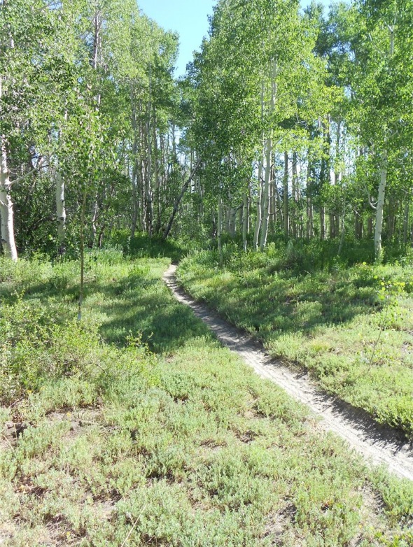
Heading up the Turkey Flats trail
We headed up the Turkey Flats trail just across the road from the parking area and almost immediately hit hill #1. It wasn’t nearly as bad as I remembered and this time I climbed it with ease. The trail meanders along, mostly flat, sometimes climbing for a bit, before providing a few more hills which reminded me that I was several thousand feet above my usual altitude level. We came to a cut off trail called “Haypress”which would be our return trail. For now, we continued straight on the Turkey Flats trail. We kept rolling along and encountered some steep downhill and a nice re-route of a steep uphill section before we coasted down to a jeep road.
We turned right on the jeep road and followed this along until we reached the Fruita Reservoir #1. Keeping to the right side (west) of the Reservoir, we picked up the trail again and headed into the woods on Reservoir #1 (663) trail. Warning: this section is pretty tough.
The Reservoir #1 trail is only about 2 miles long, but there are several hike-a-bike sections (for me anyway)with steep hills, roots, and rocks. It’s a lung buster. Still, it’s cool and shady and after one particularly grueling part there’s a nice meadow in which to rest. We made our way through, challenging ourselves on the uphills and relishing the flats, until we reached the next jeep road.
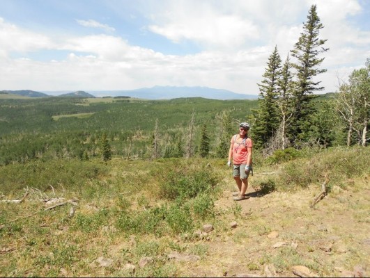
After about a mile and a half we rode through an odd gate and saw the sign for the Haypress trail on the right. This trail would take us back toward the car, but wait! Don’t turn yet! I like to keep going straight down the jeep road. After another quarter mile (or less) there’s a trail/opening on the left with some amazing views. If it’s really clear it’s possible to see the La Sal Mountains in one direction and the San Juans in the other.
Nice views make up for some tough climbing
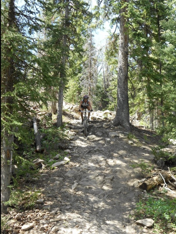
After taking in the views, we headed back to the Haypress trail. Most of this section is just an awesome downhill bomb back to the meadow and the junction with the Turkey Flats trail (where we eventually turn left and go back down to the car). However, Haypress does have a few tough and sketchy spots. The spot pictured below now has a re-route but A decided to give it a go anyway!
As always, this was way steeper than it looks!
We flew down the rest of the Haypress trail, over rocks and roots, over tiny streams and log bridges, back to the junction with the Turkey Flats trail where, after some brief pedaling, we resumed our downhill bomb. Once we reached the car I decided Turkey Flats was a trail worth riding after all.
To get there: Take Little Park road until it dead ends at DS road and turn left. Follow this to the Glade Park store and turn left again onto 16.5 road. Take this for about 10 miles, bearing right at all junctions. You’ll see a large grassy parking area on the right and a sign on the left for the “Turkey Flats trail.” The altitude here on the ride will vary from 8,000 to 9500, so be prepared!


11 Comments
Jul 13, 2012
Jul 13, 2012
Jul 12, 2012
Jul 12, 2012
So... how long did it take to ride the loop this time? :)
Jul 14, 2012
Congrats to A for trying the reroute. It looks steep and rocky with some roots thrown in for good measure :D
Jul 12, 2012
Great write up. Thanks for sharing.
Jul 13, 2012
Jul 13, 2012
Jul 12, 2012
Jul 13, 2012
Jul 12, 2012