Here is a little secret: Denver is not in the mountains. In fact, it’s pretty much in a sinkhole out on the prairie. As such, in-town singletrack doesn’t exist other than some equestrian meanderings alongside the paved Cherry Creek bike path.
A few miles south in the suburb of Castle Rock, however, the situation is a little different. While most Denver suburbs have greenways and open space, some with MTB trails, Castle Rock has taken it to a new level with purpose-built singletrack in Ridgeline Open Space that caters to everyone from beginners learning the ropes to experts putting in some miles after work.
What started as a series of disconnected short trails with multiple trailheads and no signs has been crafted into a 10 mile loop with an official trailhead, great signage, and 99% singletrack.
While the system can still be accessed from several points in the surrounding neighborhood, the official trailhead is located at the northeast corner, off Coachline Road. From here, head out of the parking lot and at the first intersection you will see a post with an ‘A’ on it. Each intersection is marked with a similar post, and following them alphabetically will take you around the outer loop in a clockwise direction.
Speaking of loops, the entire trail is made up of a collection of smaller loops. At the narrowest point of each of these is a bypass, which is marked on the posts and trail map, allowing riders to put together a shorter ride if time or stamina dictates.
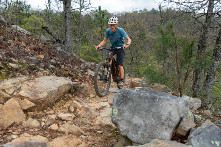
With the exception of one short paved connector, the entire system is singletrack. There is nothing too technical, but the terrain is diverse enough to help beginners sharpen their skills and keep more experienced riders on their toes. There are some short steep climbs (and descents) as well as some blind corners. The trail surface is hardpack and any rocks you encounter will be firmly embedded into the trail surface. A couple of switchbacks and one fairly tight S-turn round out the trail features.
Navigating the trail can be a little confusing, even with the alphabetical post system. The general idea is to go right at every intersection that is marked by a lettered post. There are also signs with full color trail maps at key locations, so make sure to take a moment at each of these along the way. It’s not a bad idea to print off a paper copy from the Castle Rock town website here. (The map box at the trailhead has been empty all summer.) You can also upgrade to a Singletracks Pro membership and get access to full maps for this and other trails that you can use in your GPS device or smartphone.
This trail is just plain fun to ride. If you’re training for a race, give it a couple of laps for a 20 mile aerobic workout. If you want to help some kids or newbs stretch their skills and stamina, take them on a bypass for a shorter loop. If you’re a solid intermediate, you can easily bang out a 10 mile lap after work and then grab supper at any number of eateries just up the street in downtown Castle Rock.
The Ridgeline trail is maintained by the volunteer group Ridgeline Wranglers. Check out their Facebook page for opportunities to help maintain this great near-town mountain biking resource.


6 Comments
Oct 24, 2012
Oct 25, 2012
Oct 23, 2012
Oct 23, 2012
Also, how does this area do in the winter? It seemed mostly exposed so I suspect it might dry out more quickly than the rides in the foothills.
Oct 23, 2012
It does pretty well in the winter, as does Quarry Mesa a little farther south.
Oct 24, 2012