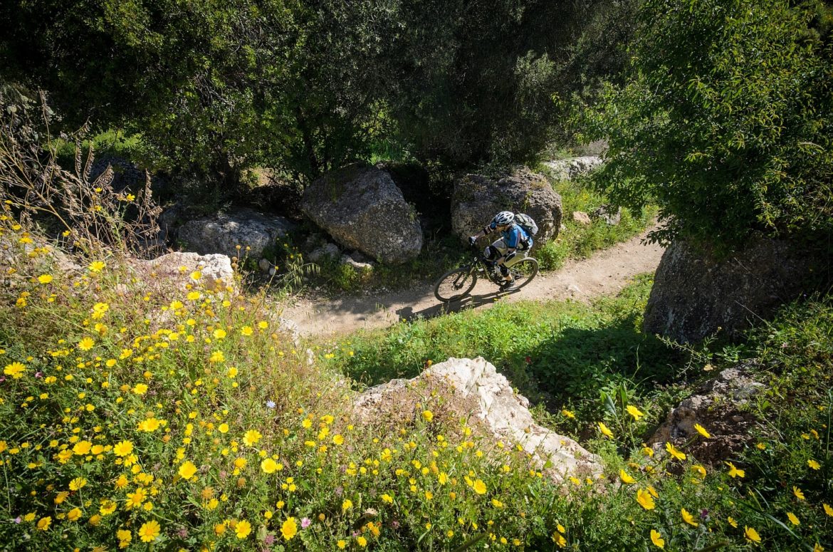
Israel’s mountain bike trails stretch the full length and breadth of the small nation, and each network includes tracks for folks with physical disabilities. Unlike the grass-roots trail planning approach that has been employed around the globe, Israel’s trail plan is run entirely by the KKL-JNF forestry organization. Their top-down masterplan includes a nationwide accessibility focus, alongside funding and schedules for trail building, management, signage, mapping, and maintenance.

The following description of the KKL-JNF, along with most of the information in this article, comes from a presentation that lead trail planer Zohar Zafon shared at the 2019 IMBA Europe Summit this spring.
KKL-JNF is a Zionist organization founded in 1901 at the Zionist Congress in Basel. Its purpose was to assist in the establishment of a national home for the Jews in Eretz Israel, and as of the establishment of the State, to assist in the settlement and development of the country. KKL-JNF is active in three main areas: Forestry, settlement, and agricultural water resource development.
The 1,300 kilometers of authorized trails in Israel spread from the northern Golan Heights to Arava Valley on the country’s southeastern border with Jordan. There are an additional 3,600 kilometers of planned trail in the works, and each system will include a trail for everyone who wants to ride. In accordance with Israeli disability law, every major network must have at least one track designed for the specific needs of hand cyclists and other riders on unique bikes. These paths are paved when necessary and maintain low grades and smooth surfaces throughout. Many of the larger systems include a few asphalt paths to further accommodate riders with disabilities.

The larger trail systems also incorporate tracks designed around the wider turning radius of tandem bikes. These tracks are titled, “singletrack and a half,” and the unique design is reportedly simple to supplant on existing trails.
On a separate accessibility note, the forestry organization has a plan to connect every city with over 20,000 inhabitants to a trail center. For larger metropolitan areas that connection may include a 10 kilometer trail that leads to the larger system, and for nearly everyone, it means accessible mountain biking. Smaller cities and communities can request access trails to their closest system, so they’re not left out of the loop.

Trail maintenance across the country is simplified through a mobile map application that allows riders to rate each trail, and signal specific locations that need attention. For example, if you come across a fallen tree on the trail you can stop and mark the hazard within the app. The software will then notify the trail crew responsible for that particular trail center so they can address the issue. After the hazard is removed you will receive a notice via the same app. The turnaround time for track repairs and hazard removal is reportedly 2-3 days.

All of the singletrack in the KKL-JNF master plan are rated green or blue, according to IMBA’s Trail Difficulty Rating System. The organization wants the trails to suit the needs of families and athletes alike, without catering specifically to top-level riders. For now, if you want to ride black diamond tracks in Israel, you will have to ask a local where the unauthorized options are.
The complete map of trails in Israel is currently being translated into English and will be available later this summer. You can check here for information and map-app updates. If you need a warm winter bike vacation, with a solid bet on dry weather, Israel might have just the right flavor for you.


1 Comments
Jun 19, 2019