×

|
Rate it:
Tags:
Level:
Length: 70 mi (112.7 km)
Surface: Singletrack
Configuration: Loop
Elevation: +396/ -376 ft
Total: 3 riders
Mountain Biking Massanutten Trail
#208 of 300 mountain bike trails in Virginia
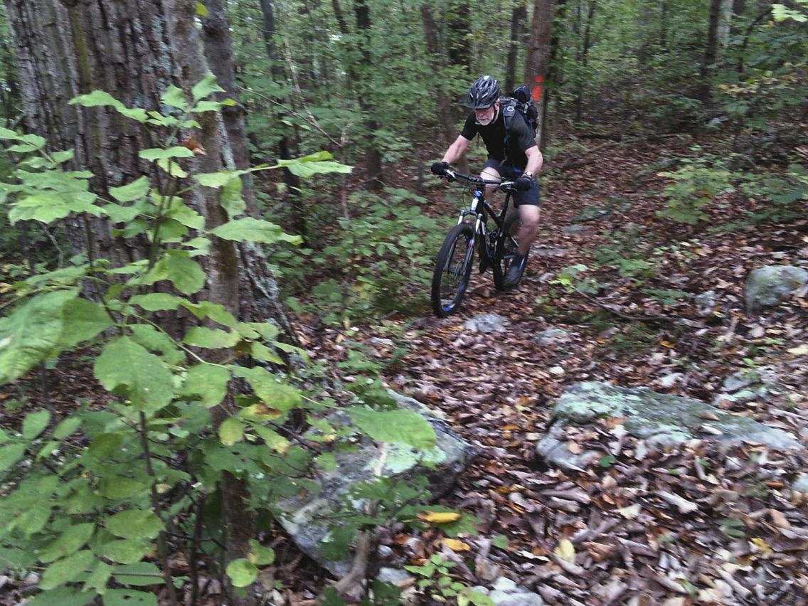
The Massanutten Trail rides the ridge of Massanutten Mountain to circumnavigate Fort Valley. Expect technical terrain with steep climbs, obstacle-strewn descents, and plenty of view points overlooking the Shenandoah Valley below. Occasionally the singletrack will be broken by brief stints of doubletrack.
Because of the trail's slow going nature, it is almost impossible to ride the whole thing in one go; most people choose to bikepack it in 2 to 3 days. Multiple springs and great places to camp along the trail's corridor only make bikepacking an even more appealing option.
While on the trail, orient yourself by always staying on the ridge. If you start at the Signal Knob Trailhead, the only times you will descend off the ridge as part of the trail will be at the beginning and end of the trip. In addition, orange blazes are used to denote the trail. Enjoy!
First added by Matthew Bonner on Jun 18, 2018. Last updated May 10, 2020. → add an update
Before you go
- Drinking water: yes
- Lift service: unknown
- Night riding: yes
- Pump track: unknown
- Restrooms: yes
- Fat bike grooming: unknown
- E-bikes allowed: unknown
- Fee required: unknown
This trail information is user-generated. Help improve this information by suggesting a correction.
The Massanutten Trail's most popular access point is Signal Knob. To get there from Front Royal, head north out of town on U.S. Highway 340. Once you have crossed the South Fork of the Shenandoah River (but not the North Fork), turn left on West Strasburg Road (VA-55). After about 5 miles, take another left onto Fort Valley Road (State Highway 678). In 3.5 miles the trailhead will be on your right.
Featured in
