×

|
Rate it:
Tags:
Level:
Length: 6 mi (9.7 km)
Surface: Singletrack
Configuration: Network
Elevation: -
Total: 0 riders
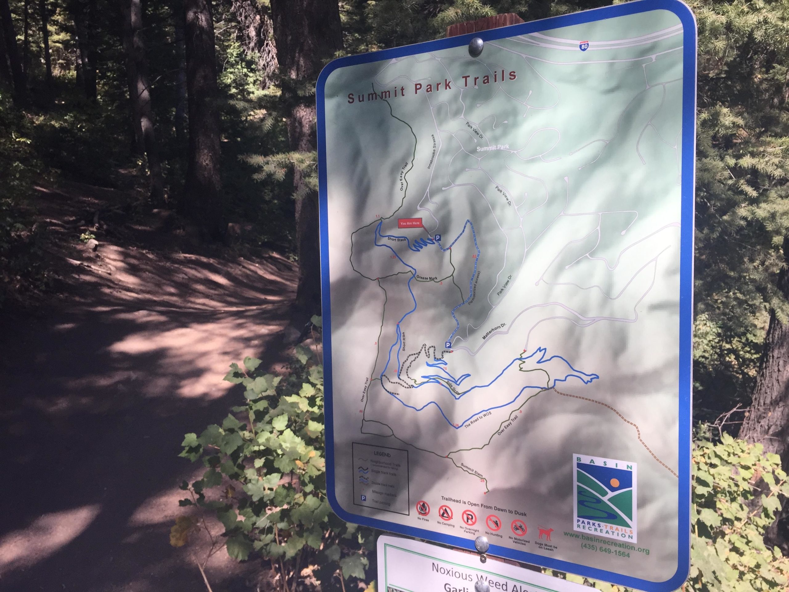
Mountain Biking The Road to WOS
#495 of 711 mountain bike trails in Utah
This trail starts out climbing in either direction and runs through a fir forrest.
The climbing is moderate to severe for a little over a mile but there are downhill sections with berms and switchbacks as well. Total distance is around 6 miles.
First added by Kuato on Aug 5, 2016. Last updated Apr 22, 2020. → add an update
Before you go
- Drinking water: unknown
- Lift service: unknown
- Night riding: unknown
- Pump track: unknown
- Restrooms: unknown
- Fat bike grooming: unknown
- E-bikes allowed: unknown
- Fee required: unknown
This trail information is user-generated. Help improve this information by suggesting a correction.
You take the Parleys Summit exit off I-80 and drive to either Matterhorn Dr. or Parkview Dr. for Trailheads. A dirt road connector runs between each parking lot.