×

|
Rate it:
Tags:
Level:
Length: 15 mi (24.1 km)
Surface: Singletrack
Configuration: Loop
Elevation: +566/ -555 ft
Total: 9 riders
Mountain Biking Oyster Point
#717 of 1,004 mountain bike trails in California
Best legal single track in Diablo.
First added by acarges on Apr 22, 2015. Last updated Apr 30, 2020. → add an update
Before you go
- Drinking water: unknown
- Lift service: unknown
- Night riding: unknown
- Pump track: unknown
- Restrooms: unknown
- Fat bike grooming: unknown
- E-bikes allowed: unknown
- Fee required: unknown
This trail information is user-generated. Help improve this information by suggesting a correction.
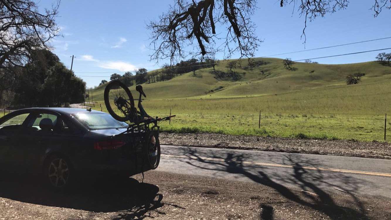
Blackhawk north enterance, past the club, ride all the way up the street until the dead end.