×

|
Rate it:
Tags:
Level:
Length: 2 mi (3.2 km)
Surface: Singletrack
Configuration: Out & Back
Elevation: -
Total: 0 riders
Mountain Biking Cyclone & Connector
#57 of 140 mountain bike trails in Vermont
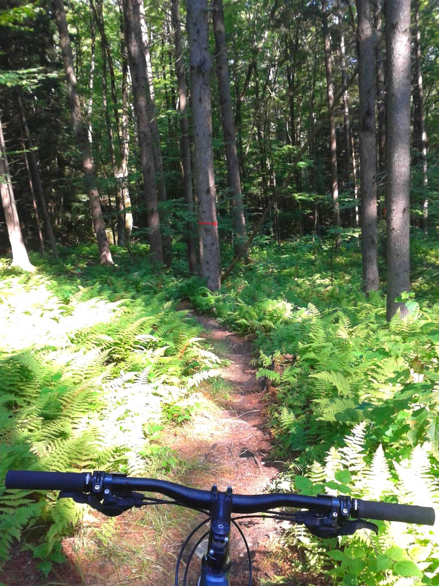
The Cyclone's twisty turns are riddled with roots, rock faces, log rolls, burst
climbs, bridges and berms. Cyclone ends on Dana Hill Rd, continue across the road
to Revolution. Use Dana Hill Rd to return to upper trails or drop to Waitsfield
CC starts at a big intersection just below the top of the EF. Fast and flowy, watch the two stream crossings. The Cyclone trailhead just in the woods from the Dana Hill Rd intersection.
First added by on Sep 29, 2014. Last updated Apr 28, 2020. → add an update
Before you go
- Drinking water: unknown
- Lift service: unknown
- Night riding: unknown
- Pump track: unknown
- Restrooms: unknown
- Fat bike grooming: unknown
- E-bikes allowed: unknown
- Fee required: unknown
This trail information is user-generated. Help improve this information by suggesting a correction.
No Solo trailhead, you have to ride here via Enchanted Forest or via Revolution

Loading reviews...View more