×

|
Rate it:
Tags:
Level: Easiest
Length: 2 mi (3.2 km)
Surface: Fire Road
Configuration: Network
Elevation: +342/ -362 ft
Total: 106 riders
Mountain Biking Lake Imaging Road #45
#225 of 549 mountain bike trails in North Carolina
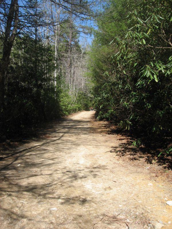
This is a pretty unremarkable gravel forest road that runs through the
beautiful Dupont State Forest. While this road in and of itself isn't much of a
challenge, the trails that it connects to are definitely worth riding!
First added by Greg Heil on Mar 26, 2011. Last updated Apr 28, 2020. → add an update
Before you go
- Drinking water: unknown
- Lift service: unknown
- Night riding: yes
- Pump track: unknown
- Restrooms: unknown
- Fat bike grooming: unknown
- E-bikes allowed: unknown
- Fee required: unknown
This trail information is user-generated. Help improve this information by suggesting a correction.
From Brevard, head South on Highway 276 into Cedar Mountain. Hang a left
on Cascade Lake Rd. Drive down into the forest and hang a right on Staton
Rd. Drive past two trailheads and park at the third major trailhead on the left.
This is the Lake Imaging trailhead.

Just your average access trail. The spectacular forest scenery around you isn't half bad though!
| ThankOne of the easier ways to get to the top of Ridgeline. Wide open trail with a lot of horseback riding.
| ThankThis is a boring dirt road with lots of horse poop, but it does connect to the other trails so it's functional to get from Point A to B.
| ThankDouble track access road. A sandy steep steady climb (or descent), with a few rocky large rocks in the path.
| ThankAgain, this is pretty unremarkable, although it does connect to some awesome singletrack. If you're a beginner, this road might be a great place to start.
| Thank