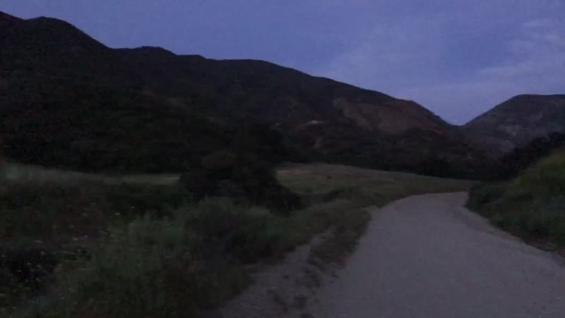
Trail is hard to get up. Fun ride down. Look for the log-you can get some serious air.
The trail:
From the parking lot head up the gravel road to the Equestrial trailhead. Turn up the asphalt trail then take the dirt fork. After you finish the ups and downs in the second part you will come to a fork - stay on the trail going right soon you will each a part where you can go up or keep going straight. Go down. After a while there's a fork you can either go down or go up if you go up you will complete an eleven mile loop and end up in the same spot you started. if you go down you will come out on a dirt -gravel road ride down this until you see a board type division go towards the houses on the right and you will find a hole in the fence squeeze through it and ride down the road and this will lead you back to the parking area.

Skyline is a wide dirt road that leads up to "Main Divide" also has some nice Singletracks at various places on your way up, the surface is a hard packed sandy makeup, as such it is rideable rain or shine with virtually no muddy sections if you stay on the road, it's a steady climb up with about 1650 feet of elevation if you go to the top. This is a popular hiking and biking trail and I would recommend a bell on your bike for the ride down to give others a little warning your coming down. Beautiful scenery and nice views along the way, some mornings and evenings the clouds hang on the top and it's fun to ride into them, snakes in the warmer months are common so keep a eye out.
| Thank4.5 miles of climbing fun fast sigle track coming Down
| ThankNot crowded, nice view, easy riding, steep climb at first from 7th st entrance. These trails connect to main Turnbull canyon trails (entrances from turnbull canyon or skyline dr) and you can ride so many different trails if you figure the area out. No jumps or drops but lots of single track and nice views. Beginner and intermmediate riding. Nothing technical.
| ThankSWEET TRAIL
| ThankSWEET TRAIL
| ThankThe trail is pretty fun if you go the right way. Most of it is climbing all the way up the dirt road but when you get to the top and go back down the mountain it is rally fun. Especially for those who like lots of air and ramps to go with it. A pretty fun trail but be prepared to climb.
| Thank