×

|
Rate it:
Tags:
Level: Beginner
Length: 6 mi (9.7 km)
Surface: Singletrack
Configuration: Loop
Elevation: -
Total: 30 riders
Mountain Biking Twin Fork Recreational Area
#110 of 202 mountain bike trails in Tennessee
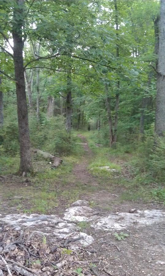
Makes a full loop and comes back out near parking lot. The other easier trail...one may ride as long as one wishes...I have never riden the entire trail, as I have always turned around after approximately 3-5 miles. It is a ride through the woods near the water. It is not recommended that people ride these trails wet, or after a recent rain becuase some of the dips are very low and mud/ standing water in places is difficult to avoid. Usual Park Daytime hours----Closing time is 10pm. There are no fees. Happy Biking and hope to see you there!
First added by stripes on Jan 1, 2003. Last updated May 2, 2020. → add an update
Before you go
- Drinking water: unknown
- Lift service: unknown
- Night riding: unknown
- Pump track: unknown
- Restrooms: unknown
- Fat bike grooming: unknown
- E-bikes allowed: unknown
- Fee required: unknown
This trail information is user-generated. Help improve this information by suggesting a correction.
"30 miles south of Nashville, TN, in Murfreesboro, TN........ Take I-24 from Nashville, 1st Murfreesboro exit (there are 2), toward Murfreesboro (dont go toward Franklin!)--merge right off of the exit-- this will take you down Old Fort Parkway (aka: Memorial Blvd), continue driving about 10mi, pass VA hospital, turn left just before the bridge at Walter Hill Dam--Follow signs to Twin Fork Picnic/ recreation area.......you will come to a split, go right toward the picnic area, follow this, cross over interstate, turn right into the park just before the road dead ends, turn right into the large parking lot....trail heads (1 on ea side of the parking lot), are visible at the end of the parking lot at the boat ramp. Trail is very kept....these are horse trails as well, therefore be courteous, yet they are not used often for horseback riding.....terrain is hilly, skill level is easy to moderate...if facing the boat dock, the trail on the right is easier. Both trails follow along the Stones River. It is impossible to get lost. One trail!

Loading reviews...View more