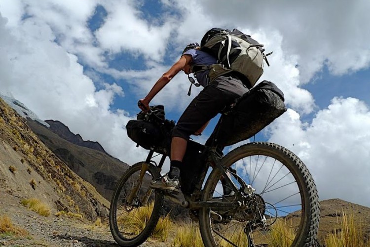
We’ve all seen it in those high-dollar mountain bike films: the planning montage. The star rider of the movie can be seen, mouth gaping in awe, looking at a mountain, then the camera cuts to him and his cohorts poring over stacks of maps, fingers pointing excitedly at things that one can only assume are sick lines upon which gnar can be shred.
Most of us non-sponsored plebeians, however, don’t spend a whole lot of time poring over paper maps and instead use online trail databases, like Singletracks.com, and just pick a route, hit up Google Maps to find the trailhead, and off we go. But what if your local trails start to feel a little similar and you find yourself wanting something that isn’t necessarily yet in the trail database? This is where good, old-fashioned (if you consider satellite imagery old-fashioned, I suppose), topographic maps come in to play.
See also: “10 Reasons to Explore a New Trail.”
In this digital age, it may seem strange to rely on paper when navigating the backcountry, but there are several areas where the old trumps the new.
- Paper maps don’t require a charge.
- Paper maps are cheaper than any GPS unit could hope to be.
- Paper maps reign supreme in packability.
- Paper maps are what professional athletes look at in mountain bike movies, thereby making them cool.
See also: “Why You Shouldn’t Ditch Printed Topo Maps for Mountain Biking (Yet).”
However, without the skills to find your way around a paper map, your freshly-printed pages are about as useful as toilet paper. Here’s a brief primer on how to effectively navigate your way in the backcountry, the old-fashioned way.
Required Equipment

First thing’s first, you’re going to need a copy of the applicable USGS Topographic map(s) for the areas that you’re looking to explore. You can get copies either online (via the USGS Website), at your local USGS office, or your local gear shop (such as REI) may have a map department that can get you started.
Secondly, a good compass with an adjustable bezel is necessary to determine your bearings and locate yourself out in the wilderness. Once you’ve found yourself (in a physical, not necessarily a spiritual, way) on the map, you can use the compass to precisely indicate your intended path of travel and make your way to your next checkpoint.
Quite the exhaustive equipment list, isn’t it? Note the lack of batteries, Bluetooth adapters, handlebar mounts, or other specialized equipment. Simple is good.
Reading the Maps
Armed with your map(s) and compass, it’s time to learn how to put the combo to work. There is a whole bunch of information packed into every USGS map and it can seem a bit daunting at first to try and wrap your head around one. But, with a little practice, you’ll soon be able to navigate effectively. For the purpose of this article, we’ll look at USGS Map Seward C-8, which can be used to navigate the Resurrection Pass Trail.
In the margins surrounding the map, you’ll find the following:

- Map Title and Author
- Revision Date

- Quadrangle Location and Adjacent Quadrangles. Each USGS map shows one quadrangle, essentially a discrete square of a much larger map. If you’re planning a long distance trip, odds are you will need to know what other quadrangles that you’ll be passing through so you have as much information as needed to help you navigate. Adjacent quadrangles are typically shown on the edges of the map.

- Map Scale. Typically, maps are in 1 inch:24,000 inch (2,000ft) ratio, but this scale can vary depending on how detailed a given map needs to be. This scale can also be expressed in minutes of latitude and longitude, with a 1:24,000 scale map displaying 7.5 minutes square of latitude and longitude
- Contour Interval. This is where you’ll discern the bulk of information from a topographic map. The squiggly lines all over the map are known as “contour lines” and are used to give the reader a view of the land’s elevation profile. The contour interval is used to determine the vertical distance between contour lines. The intervals are commonly shown as 1, 5, 10, 20, 40, or 80 feet.
- North Arrow and Declination. Fun fact: North doesn’t always mean North! This legend on the map will show the map’s orientation to the Geographic North as well as its declination to Magnetic North, which is what your compass operates on. With this information, you can calibrate your compass to ensure that your bearings on the map are in fact where you’re going in the real world. If the declination is not displayed on the North Arrow, the Map Production information should state the magnetic declination.
On the map itself, you’ll find a two-dimensional representation of our three-dimensional world, with the edges of the map showing latitude and longitude values. Most everyone has looked through a road atlas to find their way around the country, and I venture to guess that it was a relatively painless experience (unless you tried to navigate your way through Boston’s city streets, which is anything but painless). However, when you’re out in the woods without road signs to guide the way, natural markers have to be used to navigate.
To start locating yourself, first scan the horizon and look for a prominent point, such as a large hill, rock outcropping, patch of trees, or a peak. The next step is to identify your marker on the map. Topographic maps don’t discretely show trees or mountains, but rather use shading and contour lines to give the reader the lay of the land, which require a little mental training to get the hang of. Vegetation is shown as shading on the map, with darker gray (or green, if the map is in color) shading indicating more dense vegetation and lighter gray (or yellow) shading indicative of less-dense vegetation. Any areas on a topographic map without shading indicate that the area is primarily free of brush and trees.
The real advantage to topographic maps comes from their use of contour lines which are designed to indicate elevation and steepness of the terrain.

The contour lines are spaced at set intervals (100 feet in this example) and are indicative of elevation change. On every fifth contour line, the elevation will be indicated on the line. If the contour lines are spaced far apart, this indicates that the elevation change is gradual; if the contour lines are closely spaced, this indicates a more drastic change in elevation. In addition to displaying slopes and mountains, contour lines are also used to indicate streams and rivers, with a “V” shape being used to show a river’s size and direction. In this example, we can determine a few things:
- The cabin, as shown in square 14, is at approximately 1,750ft in elevation (it rests between the contour lines for 1,700ft and 1,800ft)
- The Abernathy Creek is flowing in a South to North direction. (The “V” on a contour line/river intersection points up the mountain.)
- There is somewhat thick vegetation along the creek, as seen in square 23. (Green shading is indicative of vegetation.)
- There is little to no vegetation for the remainder of the area. (White areas of the map are indicative of no vegetation.)
- The Resurrection Trail, as indicated by the dotted black line, follows the valley created by the neighboring mountains and has a gradual elevation gain from 1,800ft to 2,600ft in this section of the map.
Practice Makes Perfect (and Keeps You from Calling the Park Service to Rescue You)
Before heading out to the real wilderness and trying to find your way, which would be a potentially risky proposal, do a practice run on one of your favorite local trails. Head over to the USGS website and find out which quadrant your trail of choice is located in, and then print out the map and take it with on your ride. Over the course of your ride, stop periodically and take a look at the map and try to identify some prominent points in your surroundings. It could be a hill, a mountain, a rock outcropping, a river, or even a patch of vegetation, but the trick is to enhance your ability to convert three-dimensional features in the real world to their paper-based counterparts.
Soon, you’ll be able to keep a mental image of your surroundings and be able to quickly identify where these features are on the maps. This will help greatly when it’s time to actually use your map and compass to find yourself out in the wilderness.
Stay tuned for the follow-up article, where we’ll go more in-depth with topographic navigation!


3 Comments
Jul 4, 2015
I also just really like maps and think they're fascinating :)
Jul 1, 2015
Jul 2, 2015