×

|
Rate it:
Tags:
Level:
Length: 8.5 mi (13.7 km)
Surface: Singletrack
Configuration: Connector
Elevation: +162/ -133 ft
Total: 0 riders
Mountain Biking Southern Traverse
#87 of 114 mountain bike trails in Alabama
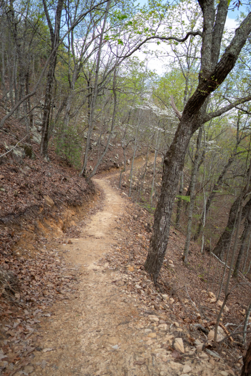
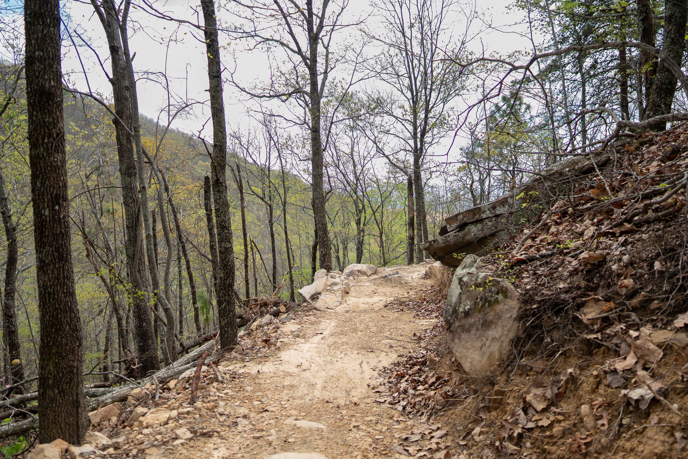
Opened spring 2025. Bench cut trail with fun creek crossings and optional features along the way. The trail is rolling but gains/loses about 900ft. overall from one end to the other.
First added by Jeff Barber on Apr 25, 2025. Last updated Apr 25, 2025. → add an update
Before you go
- Drinking water: unknown
- Lift service: unknown
- Night riding: unknown
- Pump track: unknown
- Restrooms: unknown
- Fat bike grooming: unknown
- E-bikes allowed: unknown
- Fee required: unknown
This trail information is user-generated. Help improve this information by suggesting a correction.
Accessible from the bottom half of Bomb Dog at one end, and Oval Office at the eastern end.