×

|
Rate it:
Tags:
Level: Intermediate
Length: 5 mi (8 km)
Surface: Singletrack
Configuration: Loop
Elevation: -
Total: 12 riders
Mountain Biking 7th Street
#329 of 1,005 mountain bike trails in California
recommended start point would be to the right of where the trail starts, down hillers will be coming down the right outlet. Single track all the way up with switchbacks to the top. Once you start to come down from the top you will ride along a fence that will lead you to the top of Turnbull canyon on the right side. Stay on the left side of the fence until you come back to the opening on your LEFT. this will lead you back down a single track with downhills and switch backs until you pop out where you started. The right side if the fenc will lead you into a dozen different trails connected to Turnbull Canyon on the Whittier side.
First added by OrkaRider on Sep 30, 2011. Last updated May 11, 2020. → add an update
Before you go
- Drinking water: unknown
- Lift service: unknown
- Night riding: unknown
- Pump track: unknown
- Restrooms: unknown
- Fat bike grooming: unknown
- E-bikes allowed: unknown
- Fee required: unknown
This trail information is user-generated. Help improve this information by suggesting a correction.
60 freeway east (coming from LA) exit 7th Street South. Right on Orange Grove. It dead ends that's where the trail STARTS.


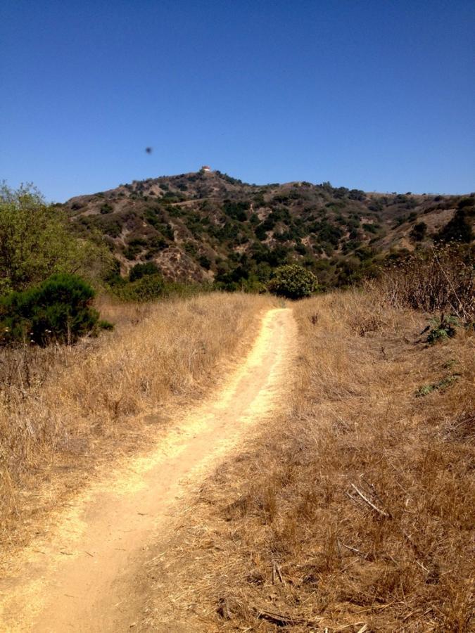

Fun little trail that connects Hacienda Heights to the Turnbull Canyon Trails in Whittier. Lots of traffic. Fun for an urban trail.
| ThankGreat singletrack loop that looks like it sees a lot of traffic. Awesome downhill, and awesome climbing switchbacks!
| Thank