×

|
Rate it:
Tags:
Level:
Length: 15 mi (24.1 km)
Surface: Other
Configuration: Network
Elevation: -
Total: 1 riders
Mountain Biking Arroyo Hondo Trails
#177 of 283 mountain bike trails in New Mexico
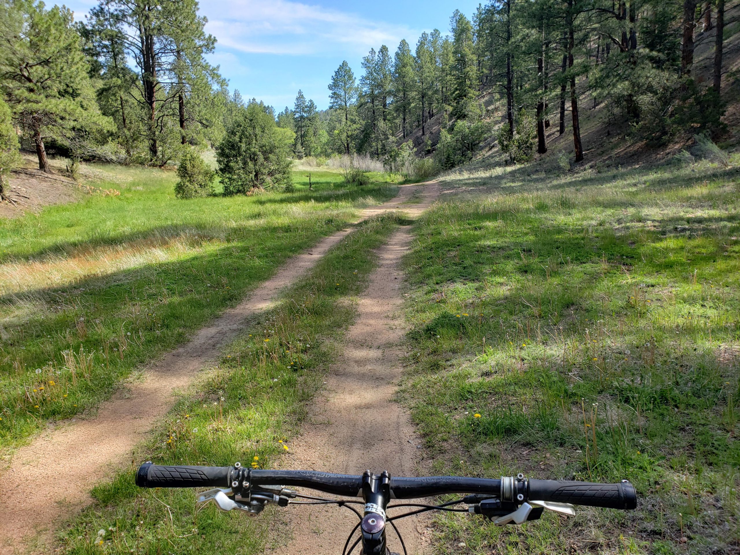
This area has a connection of active forest roads, decommissioned forest roads reverting to nature, doubletrack/ATV/moto track, and singletrack. Some runs through meadows, some along ridges, and the changes from bottom to top often run directly up/down the fall line. Given the array of trail types and the fact that many are disappearing due to lack use or maintenance, good route finding skills are advised. These trails can connect to Atayala Peak/Dale Ball to the west and Glorieta to the east.
First added by John Fisch on Jun 9, 2019. Last updated Apr 30, 2020. → add an update
Before you go
- Drinking water: unknown
- Lift service: unknown
- Night riding: unknown
- Pump track: unknown
- Restrooms: unknown
- Fat bike grooming: unknown
- E-bikes allowed: unknown
- Fee required: unknown
This trail information is user-generated. Help improve this information by suggesting a correction.
From Santa Fe, follow Santa Fe Trail (hwy 67) south/east from town. Bear left onto 67A and follow it as it veers north. Bear left again onto Forest Road 79. If you don't have a high clearance vehicle, it's best to park where the road turns to dirt as the road can get very rocky and deeply rutted. If you've got a vehicle with some clearance, then feel free to continue a couple miles up to a large multi-road intersection with an obvious parking area. From there it's a quarter mile on the road to the east to the start of the Arroyo Hondo Trail.

There is some very nice scenery here, mountain meadows, creeks, and long range vistas. But what's under your knobbies is not often conducive to mountain biking. There are heinously steep pitches suitable only to hiking or moto use, and plenty of deadfall that will likely never be cleared. This area scores much higher on the adventure scale than the fun scale.
| Thank