×

|
Rate it:
Tags:
Level: Intermediate
Length: 5 mi (8 km)
Surface: Singletrack
Configuration: Network
Elevation: -
Total: 2 riders
Mountain Biking Bald Mountain Trail
#154 of 319 mountain bike trails in Idaho
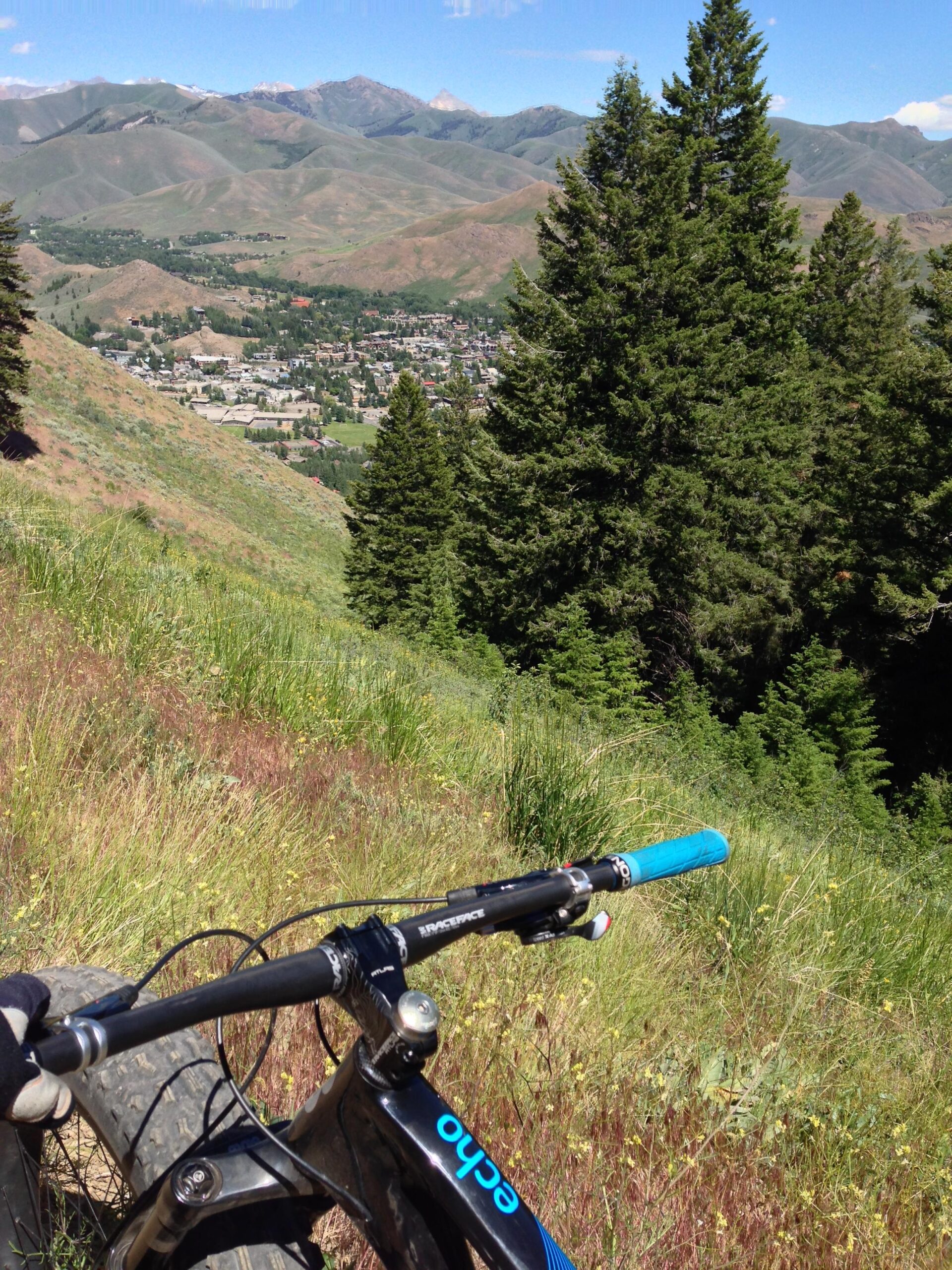
Climb 3,300 feet on a five-mile trail to a Forest Service lookout on top of Baldy. Along your journey. stop at the BLM Scenic Overlook 1.5 miles ahead and take in an excellent view of the Wood River Valley. Cross Graduate, College and Flying Squirrel ski runs and relax at the Louis Stur Memorial Fountain three miles ahead. There, refresh yourself with a cool drink before finishing your journey to the top.
The Bald Mountain Trail is one-way (going uphill) for mountain bikers.
First added by justin70 on Jun 29, 2014. Last updated Apr 28, 2020. → add an update
Before you go
- Drinking water: yes
- Lift service: unknown
- Night riding: unknown
- Pump track: unknown
- Restrooms: yes
- Fat bike grooming: unknown
- E-bikes allowed: unknown
- Fee required: unknown
This trail information is user-generated. Help improve this information by suggesting a correction.
Part of Bald Mountain

The lower part of the trail is a bit of a brute ... sections of loose gravel, roots and rocks.
Gradient feels at least 5% - often more.
Hard work!
Being close yo town, there are also lots of hikers and runners. All were polite, but it can interrupt the flow somewhat.
| Thank