×

|
Rate it:
Tags:
Level: Easiest
Length: 41 mi (66 km)
Surface: Greenway
Configuration: Out & Back
Elevation: +739/ -679 ft
Total: 34 riders
Mountain Biking BWI Trail
#60 of 99 mountain bike trails in Maryland
This is rails to trails paved. Not off road though there are some places that lead off into the woods.
First added by JeremiahDay on Mar 9, 2009. Last updated Apr 28, 2020. → add an update
Before you go
- Drinking water: unknown
- Lift service: unknown
- Night riding: unknown
- Pump track: unknown
- Restrooms: unknown
- Fat bike grooming: unknown
- E-bikes allowed: unknown
- Fee required: unknown
This trail information is user-generated. Help improve this information by suggesting a correction.
Trail begins at the parking area on hwy 450 near the Rt 2/Rt 50 interchange.


Very easy, mostly paved. Not an MTB ride at all.
| ThankIt's made for road biking not for mtbs...i actually went to fairland this afternoon and had a good time.
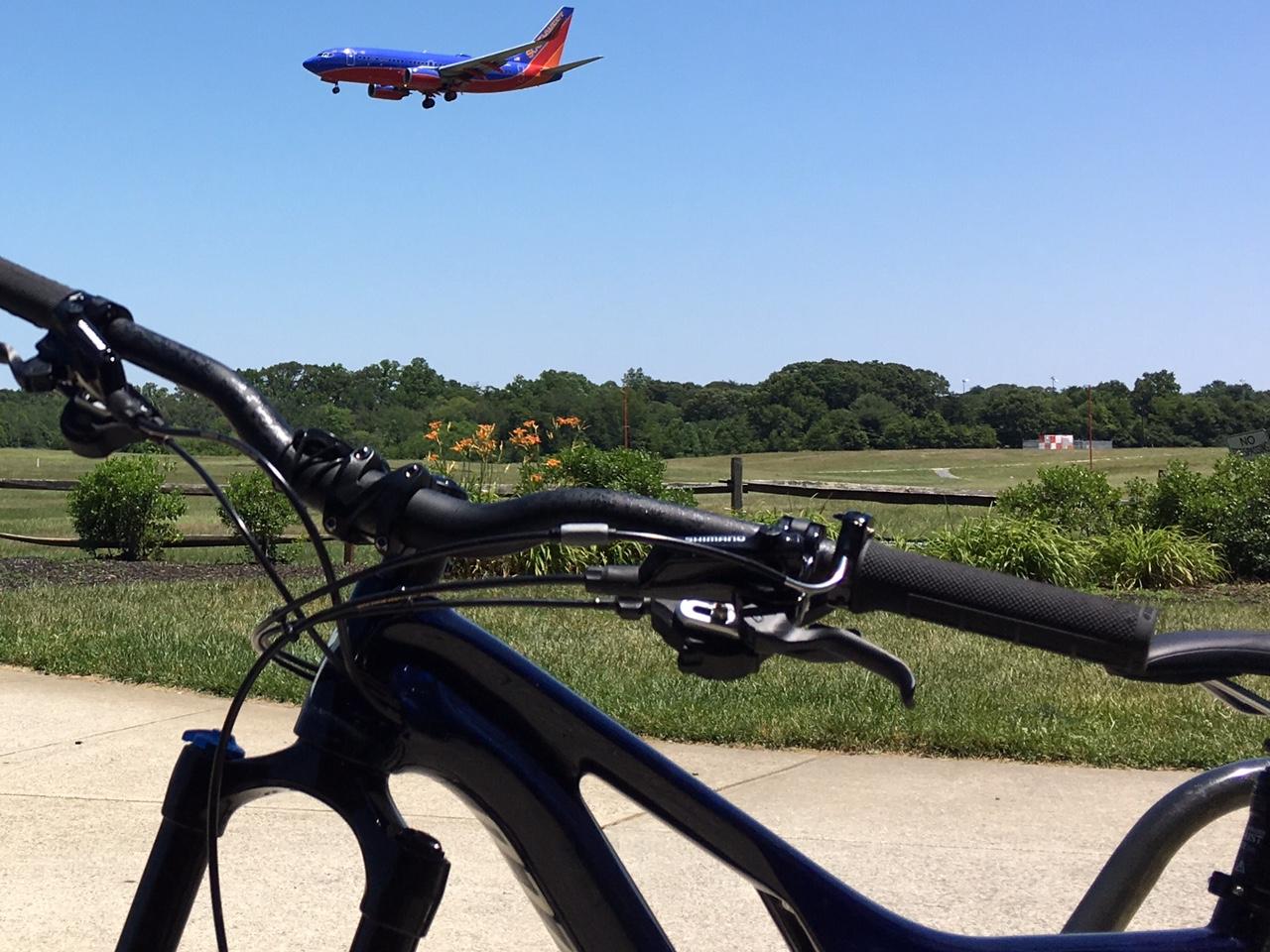
| ThankFun trail for a mild work out, nice views of the airport
| ThankNice to take the light rail down.
| ThankTrail is entirely paved and loops around BWI Airport. I think it was about 10 miles around. Some good views of the airport. Exposed trail with little shade.
| Thank