Bayou Point trail photo
See all photos (16)
×
User
Today
 
  |   Rate it:

Tags:
Level: Advanced
Length: 6 mi (9.7 km)
Surface: Singletrack
Configuration: Loop
Elevation: +589/ -408 ft
Total: 30 riders
 

Mountain Biking Bayou Point

****   Add a review
#5 of 37 mountain bike trails in Mississippi
#571 in the world

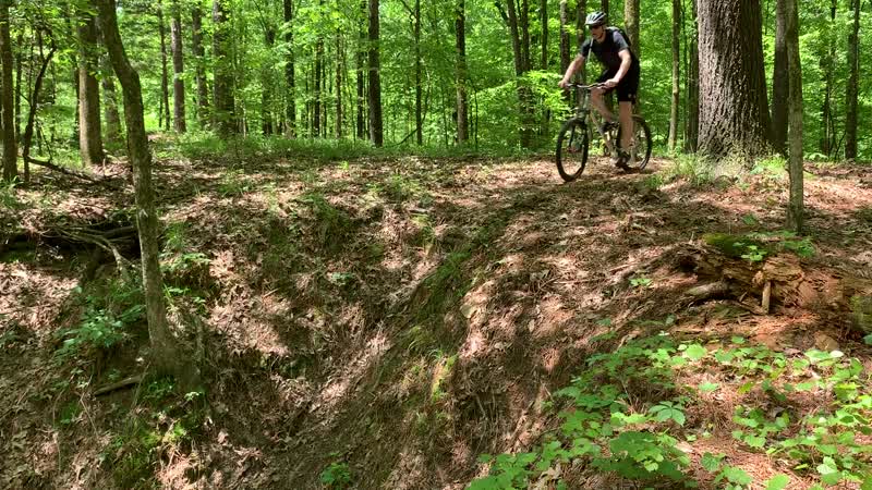
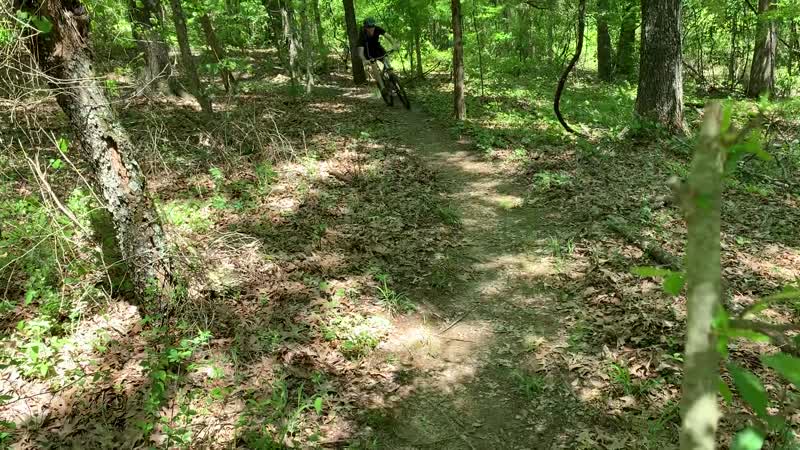
Somewhat tight and technical in areas. Short, punchy hills. Fun ridden in both directions, if ridden counter clockwise there is less climbing but if ridden clockwise there are a few decent flowing downhill sections. A few log rides mixed in near the trailhead with more fun stuff in the works throughout the trail.
First added by Evan Murphy on Jan 24, 2014. Last updated Apr 28, 2020. → add an update
Before you go
  • Drinking water: unknown
  • Lift service: unknown
  • Night riding: yes
  • Pump track: unknown
  • Restrooms: yes
  • Fat bike grooming: unknown
  • E-bikes allowed: unknown
  • Fee required: unknown
This trail information is user-generated. Help improve this information by suggesting a correction.
Getting there
Directions from Memphis..... I-55 South, Take I-69 exit towards Tunica, Take Left on 301, Stay Straight til road comes to a T, Take a left @ the T, road will come to another T, take a right here, follow the road over the spillway and you will actually "leave the park" then a .25 mile or so you will see the Bayou Point entrance on your left, take left follow road and take the next left by the playground to get to the trailhead entrance which is right next to the bathrooms.
Featured in


Bayou Point Trail map

Add to or improve this map // Share this map on your website

Local Info

Club Sponsor

-

Local Bike Shop

Trail checkins

Upcoming Events

None.
Add one

Trail conditions

Good (Dec 27, 2021)
login to update

Camping & Lodging

Coming soon!

Bayou Point videos

Add a video
 
 
These videos have been shared by members of the Singletracks community. Report inappropriate content here.

More trail photos


Mountain Bike Trails Near Arkabutla, Mississippi

****
Intermediate | 5 mi

Add a review

Rating
 
Difficulty
 
Review

Reviews

  • scale
    ****

    As of 2-31-2019 this trail is in great shape. If there has been a lot of rain like we've had- this is the go to trail, it can be ridden 4-6 hours after a heavy rain. The leaves had been recently blown and you can tell this trail is greatly taken care of. 5.7 miles long and riding both directions is a must to enjoy the jump and drop features this trail has to offer. The left direction is a bit easier wilts less climbing. Once you learn the momentum, this is a super fun trail with a bit of everything for every rider.

    Reply | Thank
  • scale
    ****

    This was probably an awesome trail when fist constructed and still is yet a great trail, just needs a little tlc. There are some nice climbs on the first section giving you a super great work out and a few nice descents. Second section is a little faster with a few nice jumps to the side of the track. Trail ending with some great berms complete with steep drops and a little air on the other side. Not much traffic and little done as far as leaves so careful on the turns.

    Reply | Thank
  • Defshark
    *****

    Technical, has great view of the lake, well maintained, not a lot of traffic on the trail, and very close to the Dam Trails

    Reply | Thank
  • Evan Murphy
    ****

    Tight and twisty, good trail to learn bike handling and cornering. One short off loop with a few big berms. Trail always well maintained and is normally the first trail in the area that is rideable after a good rain. You can also add in the dead end gravel road near the Bayou Point entrance for more climbing practice.

    Reply | Thank

Rider questions