×

|
Rate it:
Tags:
Level: Advanced
Length: 1 mi (1.6 km)
Surface: Singletrack
Configuration: Out & Back
Elevation: +92/ -83 ft
Total: 41 riders
Mountain Biking Boyds Gap
#51 of 201 mountain bike trails in Tennessee
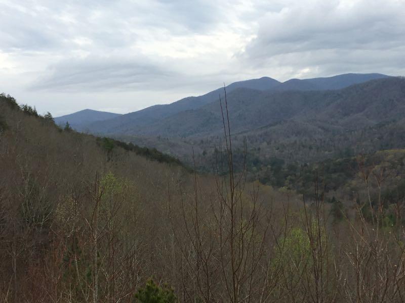
Although considered part of Tanasi trail system, it is actually removed from the network and connected by Old Copper Road. This is usually only run from the overlook parking to Old Copper Road, since it is a very steep downhill run in this direction.
First added by schwim on Jan 9, 2012. Last updated Apr 28, 2020. → add an update
Before you go
- Drinking water: unknown
- Lift service: unknown
- Night riding: unknown
- Pump track: unknown
- Restrooms: unknown
- Fat bike grooming: unknown
- E-bikes allowed: unknown
- Fee required: unknown
This trail information is user-generated. Help improve this information by suggesting a correction.
From Copperhill travel towards Ocoee Whitewater Center. Turn left into Boyd's Gap Overlook. Trail head is at the far end of the overlook parking area on the right.

This is a great tack-on trail while riding Brush Creek. It is located at the same end of the parking lot that BC exits from, but on the other side. Starts out pretty normal then it's "hold on to your hat/helmet" with a steep downhill that never ends and lots of rocks ... but a LOT of fun. The way I rode it it ends at a paved road and you take that up to the highway then up the drainage ditch back to the parking lot and do it again. Only reason it is a 4 is that it is so short.
| ThankLoved it.
| ThankGreat connection between Brush Creek and Tanasi. Like everyone else has said it's a steep descent, but when I rode it it didn't seem that technical. A nice, short descent for sure!
| ThankSome sweet dh even on rental bikes (cant put my bike in my suitcase). There are some sketchy parts if youre going fast but nothing too terrifying.
| ThankYou gotta go up before you come down! Most people start at the top and hit the downhill, which is really fun! But if you really want to deserve it, give yourself a workout and pump up it first! It's a quick ride, so you'll want to tack it onto Brush Creek or more of Tanasi.
| ThankBe a real man. Ride up it!
| ThankAs short as this trail is, it's better to simply tack it onto a Tanasi ride or a Brush Creek ride. While short, the trail can be an amazingly fast downhill. Worth riding, IMO.
| ThankHold on to your butt and enjoy this short but exciting downhill trail! Nothing too severe and you can keep yours wheels connected to the trail for it's entirety, so it is a nice one to start your downhill career on.
| Thank