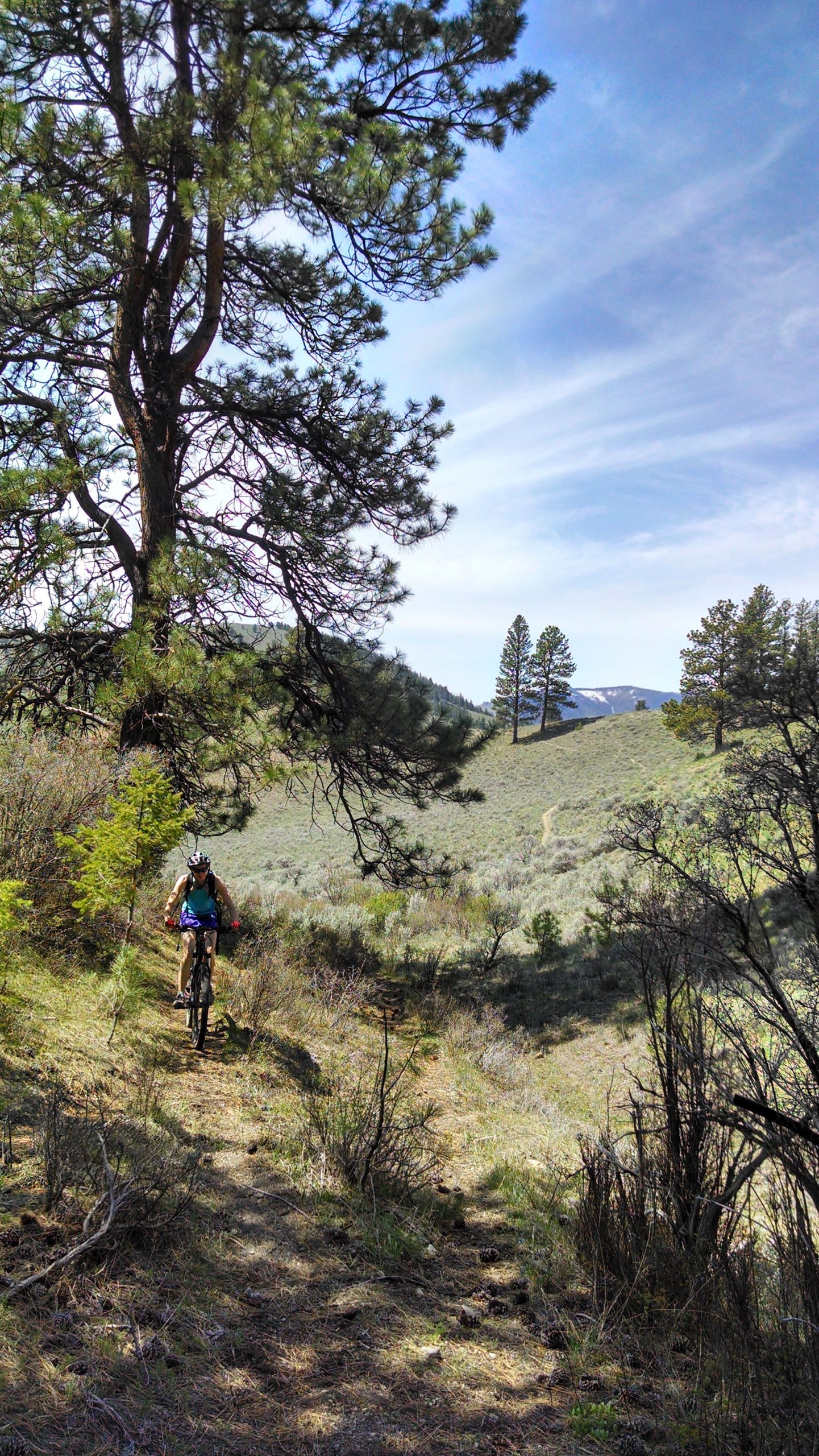
The Burns Gulch Loop has it all. Tough single track climbing, big views, technical descending. This loop will make you forget how close to civilization (is North Fork civilized?) you are.
From the Wagonhammer Trailhead head up the canyon. After one mile there is a stream crossing and a fence. Cross the gate and continue up stream. Another stream crossing comes quickly and the trail climbs gradually to a meadow. Look for a trail leaving to the left and follow this into the side canyon that is Little Thompson Gulch.
This climb is tough for its steepness but is good singletrack and gains 600' in just over a mile. Follow the main trail up to a saddle and a fence. Cross the fence gate, the trail contours to the right then drops to a water trough.
This is Burns Gulch now. You can drop straight down the gulch if you want to cut this ride short or add variation to other rides.
Our favorite way to ride Burns though, is to go past the water trough and follow the trail along the right side of the Gulch. The Gulch narrows quickly, here cross to the left and sidehill out and up to a saddle.
Cross the saddle and contour through the woods and follow the trail. Route finding can get difficult here if you are not with someone who knows the trail. Bring a map or loaded GPS. The trail crosses another gulch then climbs steeply up a sage filled draw heading west. Where this draw meets a steep face is a cow trail that contours left to a prominent saddle.
From the saddle the trail is obvious, sidehilling then dropping steeply, then contouring around a knoll to another saddle. Here you should see yet another fence and saddle and a Lewis and Clark Trailmarker.
Go left and down, descending on the trail. Continue down this drainage, hanging a right at the next water trough and onto a fast singletrack. The trail will meet another drainage in a small basin. Look to the right for a trail on the edge of the meadow and keep rolling downhill into the canyon ahead. There are often big Douglas Fir Trees across the trail and there are some steep wash crossing to contend with and lower still are some shallow stream crossings.
Eventually the trail sidehills across a rocky face, past a cabin (wave to the locals!) and onto US93. Go left on the highway back to the rest area and up to the trailhead to complete the loop.
Please Close ALL Gates between June 1 and Sept 1.

Great consistent singletrack with some big Ponderosas to save you from the sun. Moderate inclines, consistent grades, and smooth singletrack.
| Thank