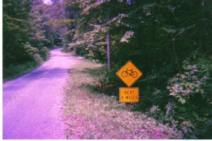
Just West of Beartree Gap Campground, off of a old fire road can be found one of the best kept secrets of mtn. biking in Southwest Virginia. With miles of awsome rolling singletrack, high speed open doubletrack, agonizing climbs,technical rock gardens, and white-knuckle gravel decents, this network of old logging and mining roads and foot trails has something for everyone. Many trails can be accessed from FR(fire road) 90 and can be combined to form various loops, lolliepops, or out & backs for quick after work rides or epic 8 hour days. The trails are never crowded and are well marked. Trail maps can be obtained from local bike shops, and you might meet a local rider who can give you some helpful info.
No longer passable. Two foot tall grass, trees down everywhere as of July 6 2014.
| ThankNice mellow trail with low-to-moderate traffic. And for this reason a little maintenance would not hurt but otherwise fine condition. I would recommend you park your car at the lower trailhead and ride your bike to the top of the ridge via FDR 90 then catch the Iron Mountain Trail south to hook up with the upper portion of the trail and enjoy the ride off of the ridge back to the car. Fairly easy with one steep section.
| ThankAlso known as The Highlands Challenge Mtn. Bike Race Course. Go to www.bikeguy.net for great area trail info, including maps, directions, in-depts trail descriptions, and recomendations on where to eat and sleep.
| Thank