×

|
Rate it:
Tags:
Level: Intermediate
Length: 15 mi (24.1 km)
Surface: Singletrack
Configuration: Out & Back
Elevation: +1,719/ -1,527 ft
Total: 6 riders
Mountain Biking CDT Goldstone South
#102 of 319 mountain bike trails in Idaho
The trail follows the continental divide in a northwesterly direction on the Montana/Idaho border southeast of Salmon Idaho. The trail is singletrack with some challenging climbs and a section of rock garden. Ride as far out as you feel comfortable The views are tremendous. Watch for bear, cougar, wolf, and elk tracks on the trail. I recommend having a map with you to find the trailhead.
First added by sidehiller1 on Dec 24, 2011. Last updated Apr 28, 2020. → add an update
Before you go
- Drinking water: unknown
- Lift service: unknown
- Night riding: unknown
- Pump track: unknown
- Restrooms: unknown
- Fat bike grooming: unknown
- E-bikes allowed: unknown
- Fee required: unknown
This trail information is user-generated. Help improve this information by suggesting a correction.
From the junction of roads 185 (Lewis and Clark Back Country Byway) and 184 drive approximately 1 mile northwest on road 184 to the curve in the road and park there. A unnamed and unnumbered camping access road goes east a couple hundred feet and acceses a camp spot. Find the Continental Divide Trail where it passes through this campspot and ride north on the trail from here. The trail (CDT 111) goes northwesterly following the continental divide toward Goldstone Pass. Ride as far out as you feel comfortable and return on the same route. The trail intersection with road #184 was not signed when I rode it in 2011.


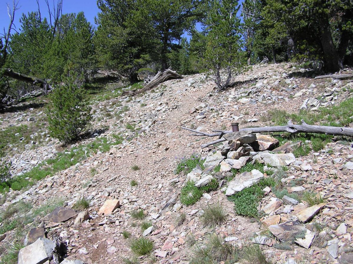

This trail starts at 8,200 feet and goes up to 9,750 feet on the continental divide so is best ridden in July-September. Its an out and back so ride as far as your energy or technical skills will allow. Its a great ride on a hot summer day due to the elevation. Great views from the trail too. Trail gets more difficult the farther north you go. It starts out as an easy trail in the Lodgepole pine forest on top of the ridge and progresses to more steep, open and rocky as you go north. There is an easier singletrack section of the CDT south of this trail which stays mostly in the lodgepole pine.
* Review edited 1/3/2012
| Thank