×

|
Rate it:
Tags:
Level: Intermediate
Length: 7 mi (11.3 km)
Surface: 4x4 Trail
Configuration: Loop
Elevation: +631/ -475 ft
Total: 6 riders
Mountain Biking Chinaman Gulch
#638 of 1,394 mountain bike trails in Colorado
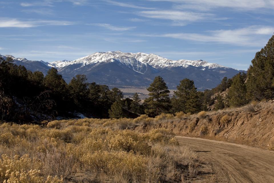
This trail is a very challenging one due to the rocking climbs and descents. The trail makes a loop and you will come back down the same way you came up. There are off road vehicles that run this route too so keep an eye out. You can get to a small lake on the back side of the loop if you'd like. The trail Y's off about 2/3 of the way down. Left takes you back to the start of the loop and right will take you down to the lake.
First added by TJeeperMan on Jul 29, 2009. Last updated Apr 28, 2020. → add an update
Before you go
- Drinking water: unknown
- Lift service: unknown
- Night riding: unknown
- Pump track: unknown
- Restrooms: unknown
- Fat bike grooming: unknown
- E-bikes allowed: unknown
- Fee required: unknown
This trail information is user-generated. Help improve this information by suggesting a correction.
Coming from Denver take 285 to Johnson's Village and then take a left at CR301, proceed south to just past the 'Prison property' sign. There will be a gate on the left with a small yellow sign saying it's a public access. The road runs through Buena Vista prison property. There is a gate at each end of the road and you need to make sure those gates get closed after you go through them. Once through the prison property you want to head left and you will see the trail head as you get to the base of the mountain.

I would say this is more so Intermediate-Advanced (Blue/Black) due to some of the technical pieces up and downhill. It's a good ride on the way down, assuming your going counter clockwise. There is also a bit of sand on about a 1/3 of the 1st CCW half that you have to push thru. I would have given this a 4 instead of 3 but the sand in parts of the ride was annoying.
** Make sure you stay off the turn out to Carnage, it is only .5mi long but you'll find yourself walking the bike thru most of it. It has 5 & 6ft drops all over the place and close together, it's made for serious 4x4 trucks.
| ThankI rode my bike following a buddy in his Jeep. The road was pretty rocky making the uphill challenging and the downhill awesome. We went through a dried up stream bed, which was really sandy and hard to bike in. All in all it was a great ride tho and I had tons of fun!
| Thank