×

|
Rate it:
Tags:
Level: Advanced
Length: 14 mi (22.5 km)
Surface: Singletrack
Configuration: Loop
Elevation: +462/ -435 ft
Total: 12 riders
Mountain Biking Goodrich-Loomis
#88 of 308 mountain bike trails in Ontario
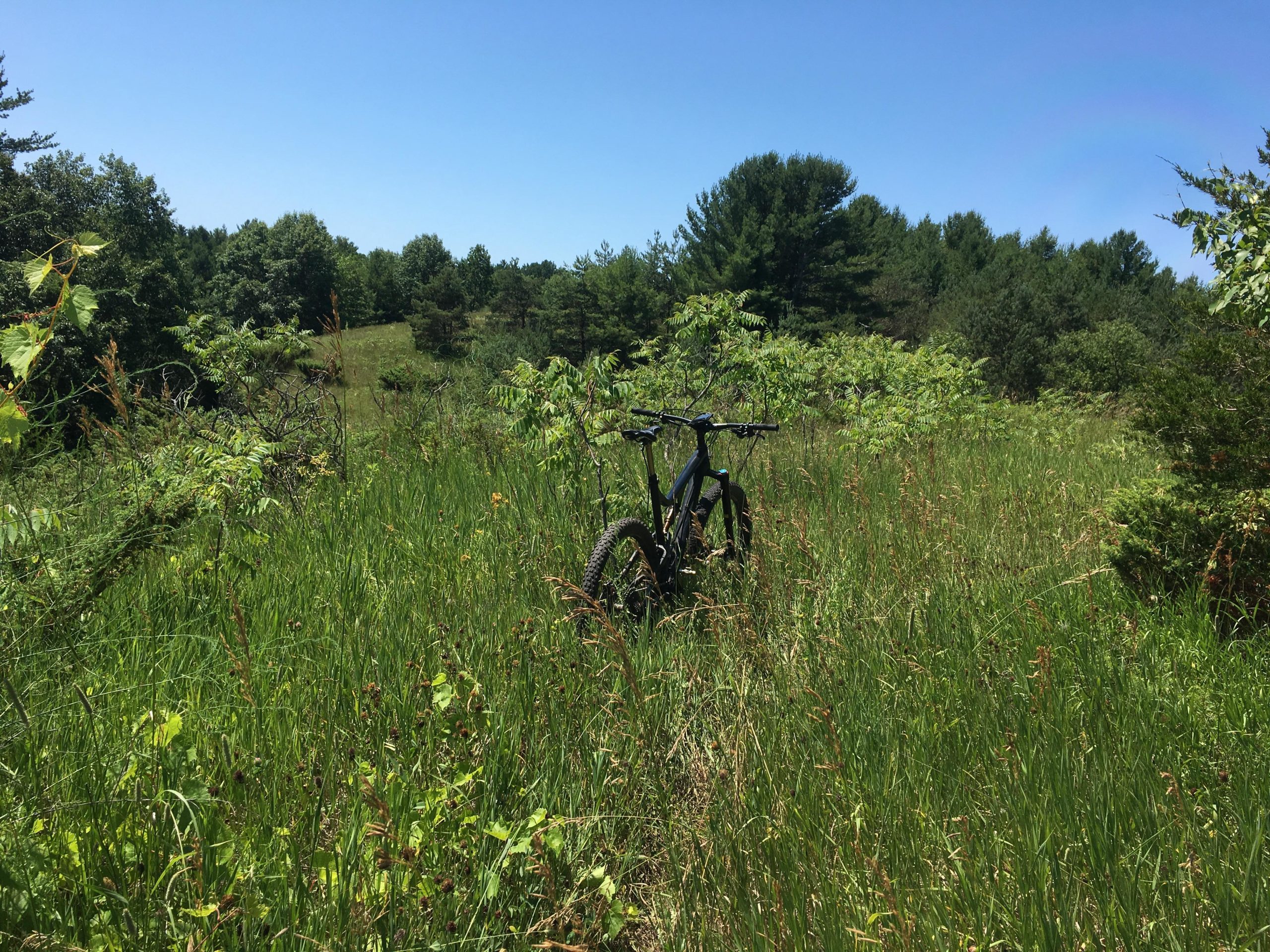
A small network of 6 trails that range from easy to hard, the trail runs along either side of Cold Creek. There's some decent climbs, and some fun and fast downhill. The trail is wide so it's good for multiple riders and easy to pass. The lowland sections can get extremely muddy in early spring or after a rainfall. Technically it ranges from simple and flowy to obnoxiously difficult.
First added by sprodj on May 8, 2013. Last updated Apr 28, 2020. → add an update
Before you go
- Drinking water: unknown
- Lift service: unknown
- Night riding: unknown
- Pump track: unknown
- Restrooms: unknown
- Fat bike grooming: unknown
- E-bikes allowed: unknown
- Fee required: unknown
This trail information is user-generated. Help improve this information by suggesting a correction.
From Highway 401, go North 6km (4miles) on highway 30. Turn left on Goodrich Road and follow conservation signs approx 5 km (3miles). Entrance is on the left.


South side fat tires tracks laid down in snow with lots of ice
| ThankWide walking paths with some climbs and downhills , back section has a layer out logs laid out to help through wet sections . Over all more of a Sunday family hike or bike area
| ThankBUT !!!
Pass through the south yellow gate to some of the best winding single track in the area inter twined with shaded quad trails. Who ever has worked on this area has done an amazing job with well laid out trails with burmes winding through the pine forests and across the meadow. Kudos to that crew!
Some of the best riding is just outside of the conservation area to the south. Very good flowy single track with some fast sections and some technical sections. The riding is almost primarily singletrack once your through the southern gate. These trails are not marked on the Goodrich-Loomis map as they are outside of it.
| ThankPretty decent, wide singletrack. I rode it with a friend in late April and we found ourselves entertained. Some trails are nice and flowy with a decent climb - others are super technical and you can get bogged down in thick, deep mud. Good fun!
| Thank