×

|
Rate it:
Tags:
Level: Intermediate
Length: 6 mi (9.7 km)
Surface: Singletrack
Configuration: Loop
Elevation: +190/ -201 ft
Total: 15 riders
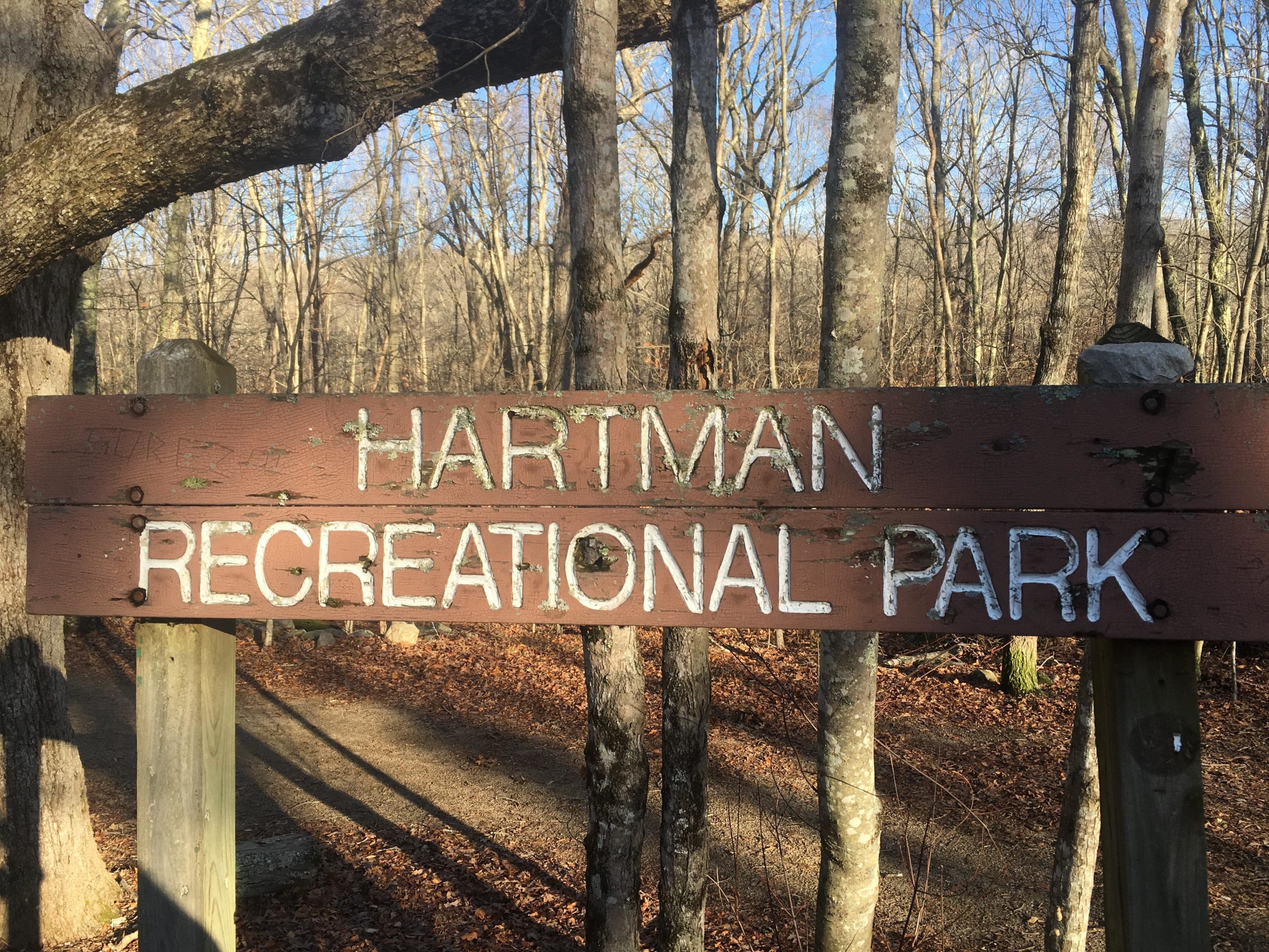
Mountain Biking Hartman Park
#48 of 114 mountain bike trails in Connecticut
Good for a change of pace ride, its not very big and there is some hike-a-bike sections you will need to deal with. There are marked trails, just follow the loop, some great look out points on the blue trail.
First added by Christopher M on Jul 19, 2013. Last updated Apr 28, 2020. → add an update
Before you go
- Drinking water: unknown
- Lift service: unknown
- Night riding: unknown
- Pump track: unknown
- Restrooms: unknown
- Fat bike grooming: unknown
- E-bikes allowed: unknown
- Fee required: unknown
This trail information is user-generated. Help improve this information by suggesting a correction.
From middletown Rt 9 get off at Rt 82 and head east. cross East Haddam bridge, continue on 82. at Hadlyme 4 corners take left (keeping on 82) Take right at Gungy Rd. (just before Rt 11, Ice Cream shop there on the right) at fork bare right, turn left then a quick right to stay on Gungy Rd. park is about 2 miles down on left.

Perfect little loop set up! Nice smooth climb to the top with one little Hike. Once at the the top you have a few options for your decent. I took the blue marker trail and found it was a good little run. I will defiantly be heading back to explore more trail options. This also looks like a great place to Fat Tire in the winter with some snow.
| ThankWell marked trails, the red loop is relatively technical. Some challenging climbs (especially up to Chapman Ridge). Lots of well marked interconnecting trails. Always a good workout.
| ThankThe trail is best ridden when there has not been a lot of rain, the hike-a-bike sections are not very long and it is a good quick loop. Some may find it on the technical side due to some steep clims and rooted areas, typical New England Riding. The trail is VERY well marked, getting lost is a challenge. Check out the fairy village (kind of creepy) Rose City Cycle will sometimes do a Sunday morning ride in here.
| Thank