×

|
Rate it:
Tags:
Level: Advanced
Length: 1 mi (1.6 km)
Surface: Singletrack
Configuration: Network
Elevation: -
Total: 1 riders
Mountain Biking Heli Pad Shortcut
#823 of 1,005 mountain bike trails in California
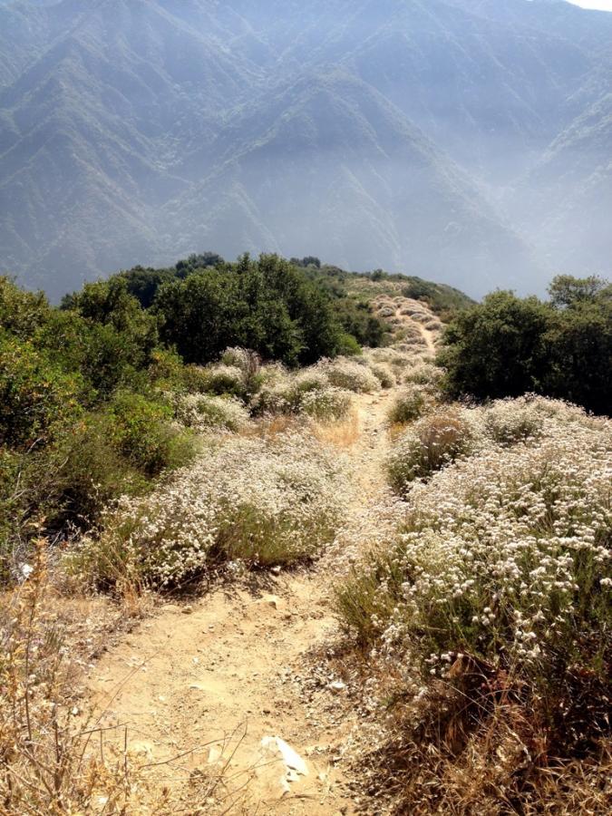
This trail drops off the upper Santa Anita gravel road and short cuts back down to the heli pad far below. At the top, it looks like an inviting singletrack descent but once you're in it, you'll realize that it is basically a washed-out ditch that is overgrown with all sorts of weeds including Poodle Dog Bush and Poison Oak. I do not recommend riding this trail.
First added by Greg Heil on Jul 6, 2012. Last updated May 11, 2020. → add an update
Before you go
- Drinking water: unknown
- Lift service: unknown
- Night riding: unknown
- Pump track: unknown
- Restrooms: unknown
- Fat bike grooming: unknown
- E-bikes allowed: unknown
- Fee required: unknown
This trail information is user-generated. Help improve this information by suggesting a correction.
See below

Do not ride this trail. Pretty much horrible... I think descending the gravel road would have been more fun.
| Thank