×

|
Rate it:
Tags:
Level: Beginner
Length: 0 mi (0 km)
Surface: Doubletrack
Configuration: Out & Back
Elevation: +478/ -503 ft
Total: 12 riders
Mountain Biking Hemo Gorge Trail
#69 of 172 mountain bike trails in North Island
The track goes down to the Puarenga stream past an old pumping station, buildings, and pipes from when Rotorua still got its water supply from the Waipa Spring
First added by Ginny_Tory on Jun 22, 2013. Last updated Sep 18, 2024. → add an update
Before you go
- Drinking water: unknown
- Lift service: unknown
- Night riding: unknown
- Pump track: unknown
- Restrooms: unknown
- Fat bike grooming: unknown
- E-bikes allowed: unknown
- Fee required: unknown
This trail information is user-generated. Help improve this information by suggesting a correction.
Trail starts at the southern end of the Te Puia carpark.


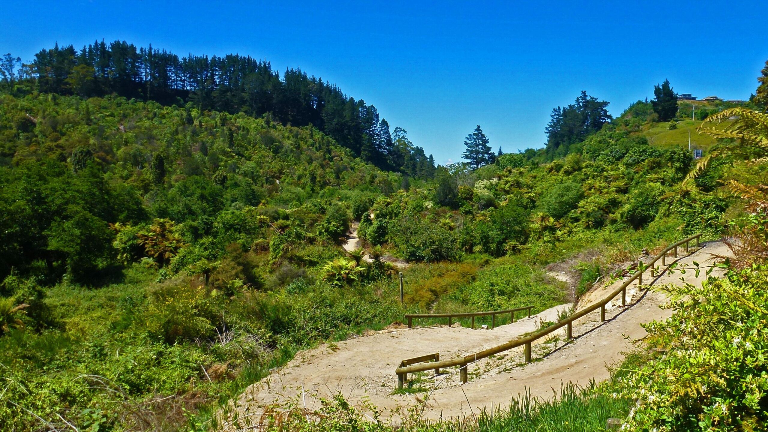

The Te Ara Ahi Trail (Thermal by Bike) uses his trail as it's exit from Rotorua so it's nice and wide and easy.
| ThankIf you want to head out to Whaka Forest Network from the southern end of Rotorua, this is the best way to go.