×

|
Rate it:
Tags:
Level: Beginner
Length: 6 mi (9.7 km)
Surface: Singletrack
Configuration: Out & Back
Elevation: -
Total: 18 riders
Mountain Biking Indian Springs
#152 of 410 mountain bike trails in Georgia
Out & back. Good combination of flat & hills.
First added by JODELL on Jun 20, 2016. Last updated May 9, 2020. → add an update
Before you go
- Drinking water: unknown
- Lift service: unknown
- Night riding: unknown
- Pump track: unknown
- Restrooms: unknown
- Fat bike grooming: unknown
- E-bikes allowed: unknown
- Fee required: unknown
This trail information is user-generated. Help improve this information by suggesting a correction.
Indian Springs end on Hwy 42. Dauset end on gravel road at marker 16, North-East "corner" of loop.

Heading from dauset towards the state park entrance this is a flowing roller coaster ride, one of my absolute favorite stretches of trail in Georgia. On the way back to dauset you'll have plenty of time to reflect on the fun you had and regret your decision as you climb back up all the hills you just flew down. If you're riding dauset then you have to do this. Fastest and most fun trail in the system.
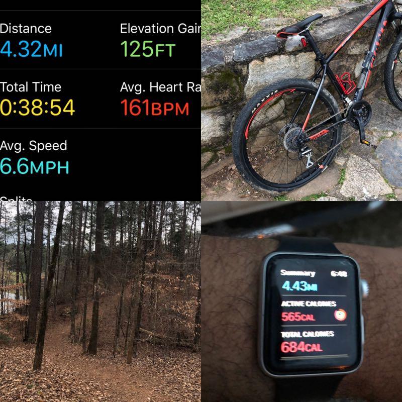
| ThankGood and dry trail. Lots of wild life and good views of the lake.
| ThankGood singletrack with some old Jeep trails here and there. Lots of rocks and roots but not really any places that you will leave the ground. Get a map, the signs aren't the greatest
| ThankGood combination & flat & hills.
| Thank