×

|
Rate it:
Tags:
Level:
Length: 11 mi (17.7 km)
Surface: Fire Road
Configuration: Out & Back
Elevation: +660/ -659 ft
Total: 2 riders
Mountain Biking Jelm Mountain Road
#118 of 258 mountain bike trails in Wyoming
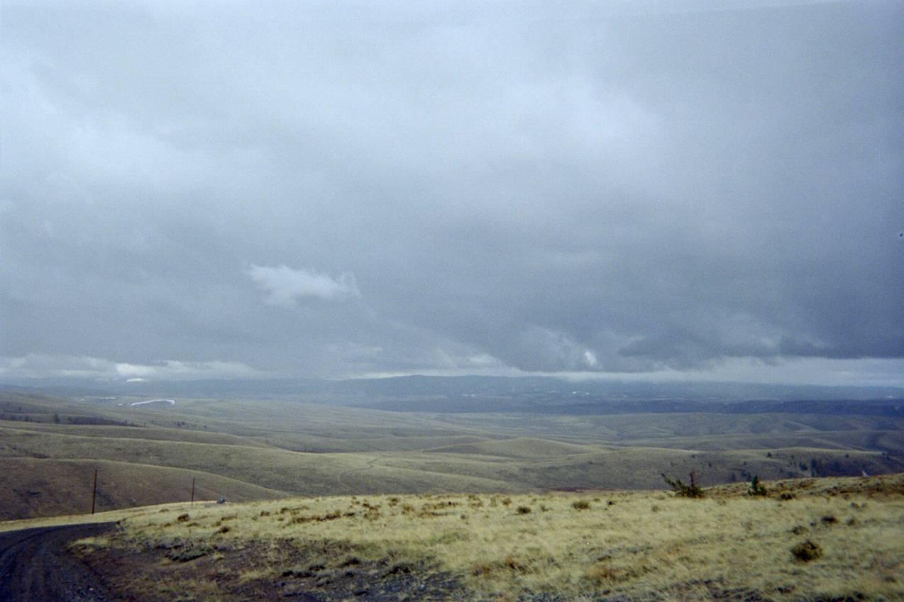
An intense 2000ft. climb to the top of Jelm Mountain (9656 ft.), which houses the University of Wyoming observatory. Gravel road that can be loose and rocky with washouts. Great view of Laramie Basin and Laramie River valley. 5.5 miles up, 5.5 down. 1 hr up, 10 min. down.
First added by dauw on Apr 15, 2006. Last updated Apr 30, 2020. → add an update
Before you go
- Drinking water: unknown
- Lift service: unknown
- Night riding: yes
- Pump track: unknown
- Restrooms: unknown
- Fat bike grooming: unknown
- E-bikes allowed: unknown
- Fee required: unknown
This trail information is user-generated. Help improve this information by suggesting a correction.
Take HWY 230 West of Laramie, WY about 30 miles to HWY 10 at Woods Landing. Go south on HWY 10 a few miles to Jelm Mountain turnoff on left (BLM Rd 3429, WY Atlas and Gazetteer).


Road was damp, packed, and reasonably smooth (4/30/06). Lung burner on the way up, road burner on the way down. I made it about 3 miles up before lightening and hail kept me from reaching the top, but both helped me reach @35 mph on the way down. The ride down is worth the ride up. Or, find a way to shuttle to the top. I will return and summit!
| Thank