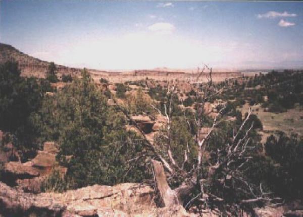
This is a great place to take in the landscape of the San Luis Valley. It's nothing too technical, but you can get some really serious speed on your way out. Keep an eye on your left for the 100 year old lime kilns, which are very cool.
When riding in this area, bear in mind that it's very isolated and extremely dry so bring more water than you think you'll need, an extra power bar and a first aid kit. I wouldn't recommend riding this alone as I did once when I took a pretty nasty digger. I was ok enough to get out but it occured to me that if the spill had been any worse, I would've stuck out there in the desert sun for a really long time. Probably would've been eaten by one of the bigfoot that are thought to live in the mountains to the south.
Park at the dirt burm and take the trail to the left that parallels the road. it will soon go to into the mountains. its a short climb. I was there in June and passed a sign that said the downhill was closed
| ThankThe description and directions for this trail are pretty lame. The BLM road splits at about 3 mi. Took the right and hit dead end at private drive. Back tracked and went left and parked at 2nd levee. Rode 12 mi. mostly 2 track loop and never found trail.
| ThankGrew up riding this trail from my house on my first mountain bike. Nothing particularly challenging, save for a couple of short sections that will be more difficult for beginners. After parking at the levee, you can either continue west to get to the trail (in the description), or head south down the road to the trail marker there. Both climbs are fairly easy, and both end up on the same stretch of singletrack which connects with the road.* Review edited 6/1/2011
| Thank