×

|
Rate it:
Tags:
Level: Expert
Length: 11 mi (17.7 km)
Surface: Singletrack
Configuration: One-way
Elevation: +1,895/ -1,898 ft
Total: 9 riders
Mountain Biking Magic Line
#4 of 84 mountain bike trails in Spain
Magic Line is a flowy, steep, tight, technical, all-around epic descent! Running through the ski area, it doesn't actually have chairlift access, but you can do an uplift with a van, as I did with MTB Dreams.
First added by mtbdreams on Sep 12, 2016. Last updated Apr 22, 2020. → add an update
Before you go
- Drinking water: unknown
- Lift service: unknown
- Night riding: unknown
- Pump track: unknown
- Restrooms: unknown
- Fat bike grooming: unknown
- E-bikes allowed: unknown
- Fee required: unknown
This trail information is user-generated. Help improve this information by suggesting a correction.
Bosque


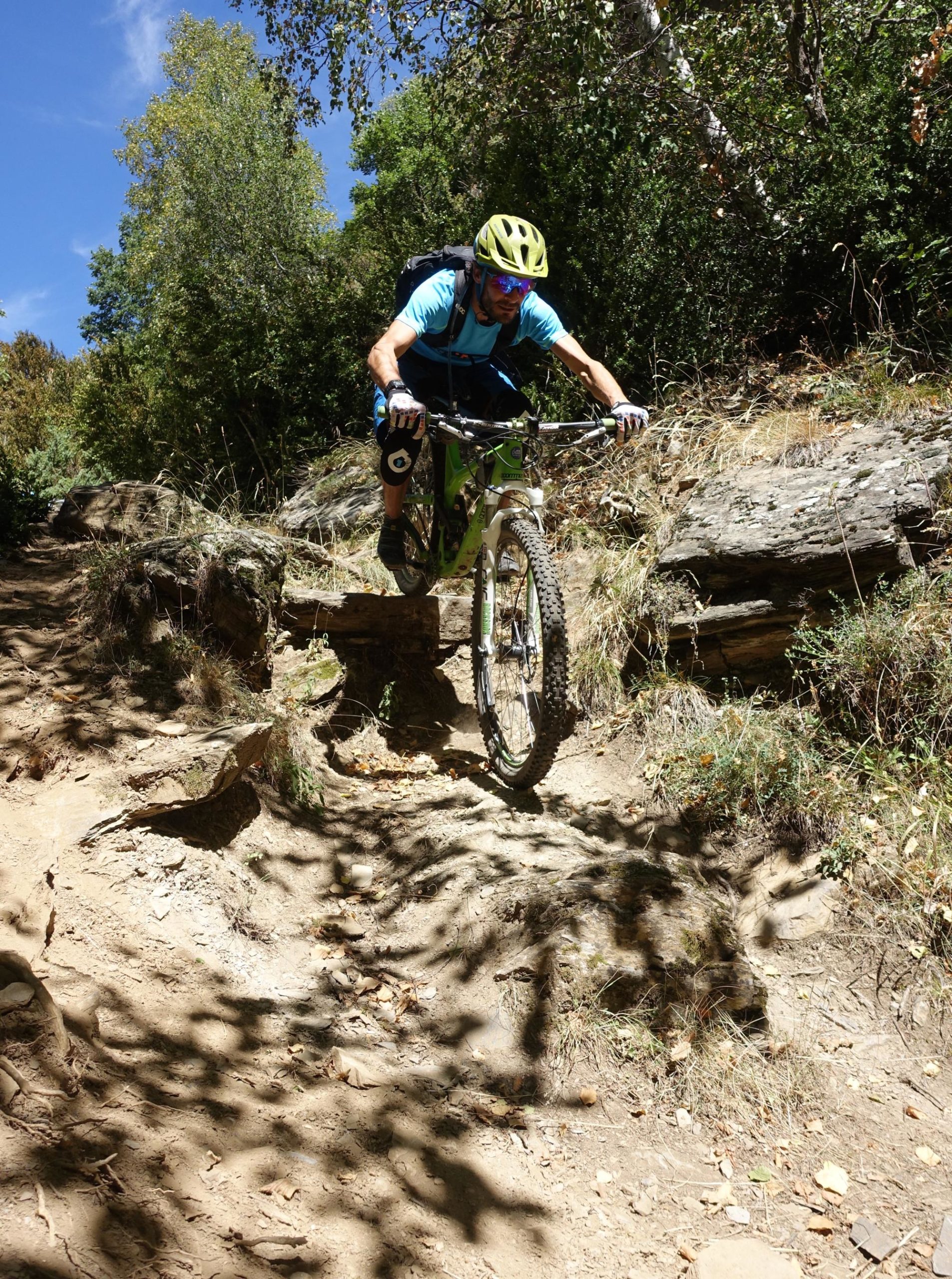

Possibly my favourite trail of the trip, this had a good range of fast flowy sections and some steep technical rocky stuff that you have to pick your way through... This trail was mostly under tree cover and we rode this trail in the damp which made for some fun cornering! The wet boulders and gully sections reminded me of my favourite Lustleigh ride on Dartmoor, but went on for much longer. Would highly recommend this trail for anyone who likes steep and technical trails! To find it follow the singletracks GPX file as the trail maps / signage aren't great. We used my car to uplift to the top each day and had a hire car parked at the bottom of the trail to shuttle us back up again at the end. It worked a treat and was probably cheaper than a taxi/uplift service over 5 days... Enjoy!
| ThankIncredible, ripping descent! Fast, flowy sections, really rocky technical sections, rooty sections--the works!
| Thank