×

|
Rate it:
Tags:
Level:
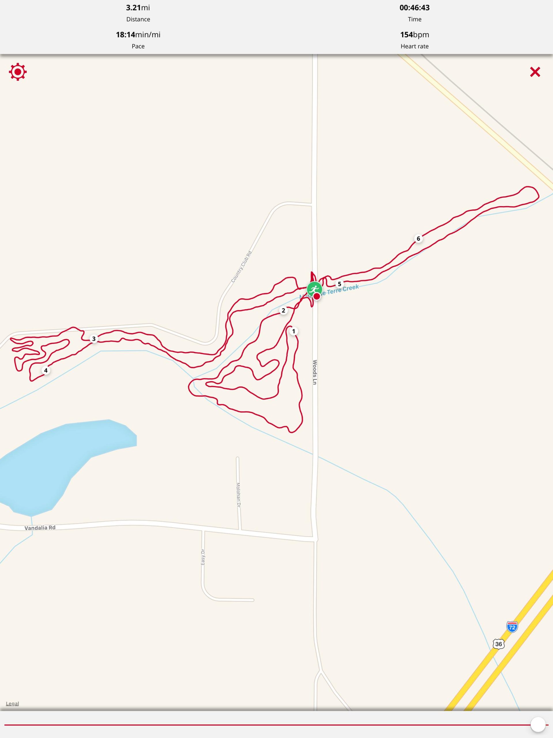
Length: 4 mi (6.4 km)
Surface: Singletrack
Configuration: Loop
Elevation: -
Total: 1 riders
Mountain Biking Mauvaise Terre Creek Trail
#104 of 128 mountain bike trails in Illinois
Very flat, narrow, single track trails. Not technical (roots, varied surfaces) but some parts are twisty! Four separate trails that are connected under the bridge over Woods Lane. Well-maintained by local volunteers. Almost 100% shaded. Some short bridges or stone blocks over muddy areas.
First added by Aimee Blackham on Jul 15, 2017. Last updated Apr 20, 2020. → add an update
Before you go
- Drinking water: unknown
- Lift service: unknown
- Night riding: unknown
- Pump track: unknown
- Restrooms: unknown
- Fat bike grooming: unknown
- E-bikes allowed: unknown
- Fee required: unknown
This trail information is user-generated. Help improve this information by suggesting a correction.
Starting at Jacksonville Community Park head east on East Morton Avenue / 104 / old highway 72. Veer right at light to continue on 104 South. Turn right on Woods Lane. Pass Country Club Road on the right. Trails on are either side of small bridge over the Mauvaise Terre Creek.