×

|
Rate it:
Tags:
Level: Intermediate
Length: 18 mi (29 km)
Surface: Other
Configuration: Other
Elevation: +1,018/ -1,035 ft
Total: 15 riders
Mountain Biking Mcdougal Rim
#24 of 1,379 mountain bike trails in British Columbia
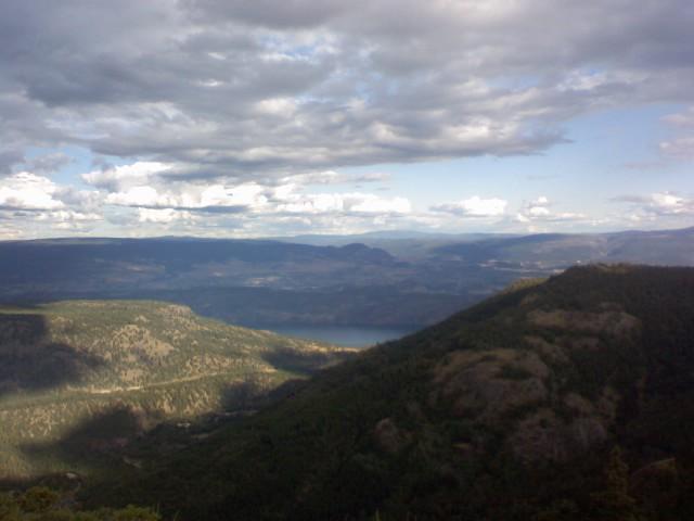
follow forestry/gravel road down hill for a couple seconds, then begin the up hill climp at the first 2 v in the road take a right the third one is a left to a smaller double track as the main road turns to the right after that you will take another right up a singletrack i believe there was a little red flag in front of this trail this will take you up a ways more. when your about to go down hill for the first time stop and walk up a little rocky hill to the left for a spectacular view of the valley. took me hour and a half to get to there.
After that theres a lot of up and downs till you get to the next look out point and from there its mostly down hill took me approx hour to get down from first look out point single track all the way down.
First added by RydingMountains on Aug 4, 2006. Last updated May 1, 2020. → add an update
Before you go
- Drinking water: unknown
- Lift service: unknown
- Night riding: unknown
- Pump track: unknown
- Restrooms: unknown
- Fat bike grooming: unknown
- E-bikes allowed: unknown
- Fee required: unknown
This trail information is user-generated. Help improve this information by suggesting a correction.
take highway 97 across the bridge to the west side turn right on to Bartley Rd follow tilll turns to gravel till you get to signs that say McDougal Rim there is a park bench on the right.

Some of the best views of the valley from the top elevation. Great downhill flow.
| ThankBeautiful view worth the hike up.take the 4x4 road up to the lake then loop back down the trail.
| ThankBeautiful view worth the hike up.take the 4x4 road up to the lake then loop back down the trail.
| Thank