A winding dirt path through a lush forest, flanked by tall trees and dense greenery. The trail is surrounded by fallen leaves and small rocks, with sunlight filtering through the canopy above, creating a serene and inviting atmosphere.
See all photos (10)
×
User
Today
 
  |   Rate it:

Tags:
Level:
Length: 9 mi (14.5 km)
Surface: Singletrack
Configuration: Network
Elevation: -
Total: 0 riders
 

Mountain Biking Needleseye Park

  Add a review
#81 of 112 mountain bike trails in West Virginia
#15,784 in the world

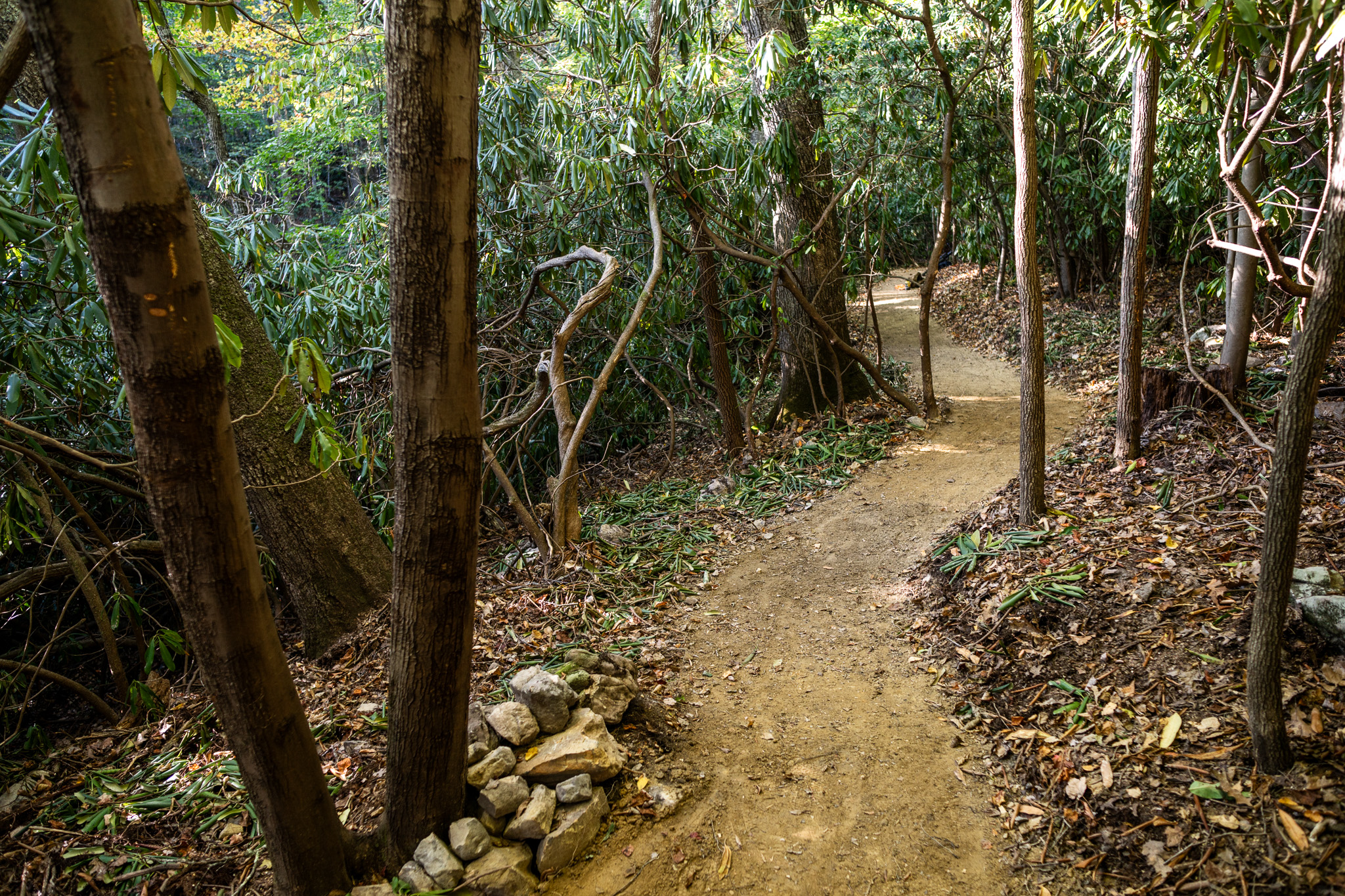
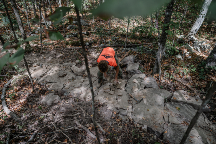
Once complete, this 9-mile trail system will provide four miles of beginner-friendly singletrack and four miles of intermediate/advanced singletrack, in addition to some gravity trails.

First added by Greg Heil on Oct 9, 2024. Last updated Oct 9, 2024. → add an update
Before you go
  • Drinking water: unknown
  • Lift service: unknown
  • Night riding: unknown
  • Pump track: unknown
  • Restrooms: unknown
  • Fat bike grooming: unknown
  • E-bikes allowed: unknown
  • Fee required: unknown
This trail information is user-generated. Help improve this information by suggesting a correction.
Getting there
Needleseye Park, Oak Hill, West Virginia


Needleseye Park Trail map

Add to or improve this map // Share this map on your website

Local Info

Club Sponsor

-

Trail checkins

Upcoming Events

None.
Add one

Trail conditions

(Oct 9, 2024)
login to update

Camping & Lodging

Coming soon!

Needleseye Park videos

Add a video
We don't have any videos of this trail yet. Add one here.

Mountain Bike Trails Near Oak Hill, West Virginia

***
Beginner | 5 mi
| 3 mi
*****
Beginner | 36 mi
*****
Intermediate | 14 mi

Add a review

Rating
 
Difficulty
 
Review

Reviews

    Loading reviews...

Rider questions