×

|
Rate it:
Tags:
Level: Intermediate
Length: 15 mi (24.1 km)
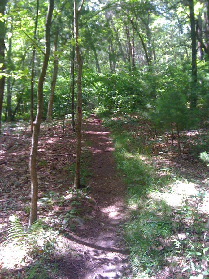
Surface: Singletrack
Configuration: Network
Elevation: +448/ -441 ft
Total: 19 riders
Mountain Biking Nobscot Mtn.
#101 of 223 mountain bike trails in Massachusetts
The trails can be quite rooty, and steep, at times. Most are rolling, somewhat wide, but spread out well also. Steepest doable climb is 20%!
First added by Kaparzo on May 9, 2004. Last updated Apr 30, 2020. → add an update
Before you go
- Drinking water: unknown
- Lift service: unknown
- Night riding: unknown
- Pump track: unknown
- Restrooms: unknown
- Fat bike grooming: unknown
- E-bikes allowed: unknown
- Fee required: unknown
This trail information is user-generated. Help improve this information by suggesting a correction.
Rt. 20 in Sudbury, MA, travel west to a left turn on Brimstone Lane. Park in parking lot at bottom. Pedal 1.2 miles on pavement to top of Nobscot Mtn. The trails are from the top.


There are legal trails here, but it is true, the Boy Scout land is private and those trails are not open to visitors... the tricky part is those trails are not always signed as private, so I ended up riding into camp sites a time or two by mistake.
The singletrack is sick - very nice and flowy. That being said, I'm not sure if there is enough legal trail to make this place a destination ride. I'd say if you are local, explore the crap out of it to find all the legal stuff and I think there would be a good ride in there for you. I've also heard tail of being able to link these trails up with Callahan... figure that out and you've got a great ride on your hands.
| ThankMay 30, 2009 - I have only been there twice - started up top by the cell towers last week and then today started out down off Edgell road (small gravel area at side of road, just north of Bayberry Lane).
Everything up near the top is steep. Killer climbs. Lower down its some single track with a lot of fire roads, with markers showing trail names, although I have never found a map. You can cruise on the fire roads - nice break from roots and rocks.
I probably won't ride there again because it is actually the "Nobscot Scout Reservation" and owned by the "Knox Trail Council, Boy Scouts of America". Numerous signs specifically state no bikes. I don't want to poach - especially since there are soooo many trails in the whole state.
I may try to contact them, just to confirm, but as I said, I'll probably steer clear.
| Thank