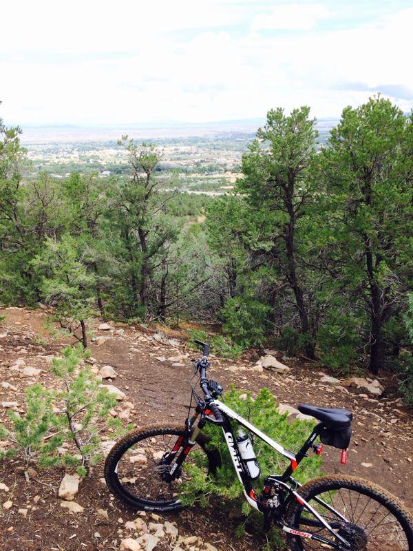
Head up the South Boundary Trail from the El Nogal Picnic Area for a
challenging 3-mile uphill climb. There's a few rock staircases to push
through, and I did quite a bit of pushing beyond that as well. The South
Boundary Trail then connects with the wider Ojitos Canyon Trail, which, for
its 7 miles, alternates between long ridge rides, steep rocky descents, and
a seemingly endless parade of berms. Toward the end, the trail connects
with the Talpa traverse, but if you continue straight over the berms, you'll
arrive on Route 585 just around the corner from the El Nogal Picnic Area.
There were a few riders coming down the South Boundary Trail from the
Ojitos Canyon intersection ... and I would only recommend that stretch with
a downhill bike -- steep, narrow, and rocky.
An experience with a steep climb at the start. I attempted right after riding 30 miles on South Boundary, so I can only review about 1/3 of this trail. Very wide and steep with a few spots that may need some attention. The trail turns into a smooth (minimally rocky) climb in single track. What goes up...must come down . this trail offers a lot of fun and payoff for your efforts.
| ThankOjitos has potential but it's in rough shape. I rode down it earlier this Summer after climbing the bottom of the South Boundary Trail. The first 1.3 miles (from the SBT junction) climbs a nice smooth dirt double track. There were a few down trees and some football size rocks to navigate around. At mile 1.3 the first downhill section begins. It's a moderately steep, rocky and technical pitch with both embedded and loose rocks strewn about. There is another gradual uphill traverse with more downed trees and rocks, this is where the general lack of care for this trail becomes apparent. The descent dropping into the lower elevation arroyos begins about halfway down, lots more loose large rocks were in the trail hidden in places by tall grasses and wildflowers. The berms begin at this point, some smooth and rollable and some washed out and eroded to steep drops with jagged rocks sticking out, There is a noticeable bike path worn into the old road grade, the trail just has been neglected and not maintained or cleaned for a long time. It was still a fun ride because the bottom two miles makes it worthwhile. The trail becomes wide and smooth and the berms and rollers make for fun rollercoaster riding with some nice airs.
| ThankThis is a great ride from town under any circumstance and particularly useful if you don't have the shuttle to to do the South Boundary trail. The climb is a very tough combination of grade and distance with some tech thrown in. If you can stand going up about 2K verts in just over 3 miles (the nice ponderosa forest helps), then give it a go. The downhill is well worth the climb. This is a Taos classic.
| Thank