×

|
Rate it:
Tags:
Level: Advanced
Length: 12 mi (19.3 km)
Surface: Singletrack
Configuration: Loop
Elevation: +846/ -198 ft
Total: 20 riders
Mountain Biking Pigeon Mountain
#207 of 406 mountain bike trails in Georgia
The trail starts behind the parking area (opposite the overlook). Take the orange blazed trail from there. Pick up a map at the ranger station to make sure you don't get lost. This trail is relatively flat for the mountains as it sticks to the ridges and whatnot. It is a tight trail but not well maintained. I was there this past weekend (march 24, 2000) and there were lots of trees down on the trail. Alot of great views - a fun, moderate trail.
First added by Jeff Barber on Jan 1, 2003. Last updated May 10, 2020. → add an update
Before you go
- Drinking water: unknown
- Lift service: unknown
- Night riding: unknown
- Pump track: unknown
- Restrooms: unknown
- Fat bike grooming: unknown
- E-bikes allowed: unknown
- Fee required: unknown
This trail information is user-generated. Help improve this information by suggesting a correction.
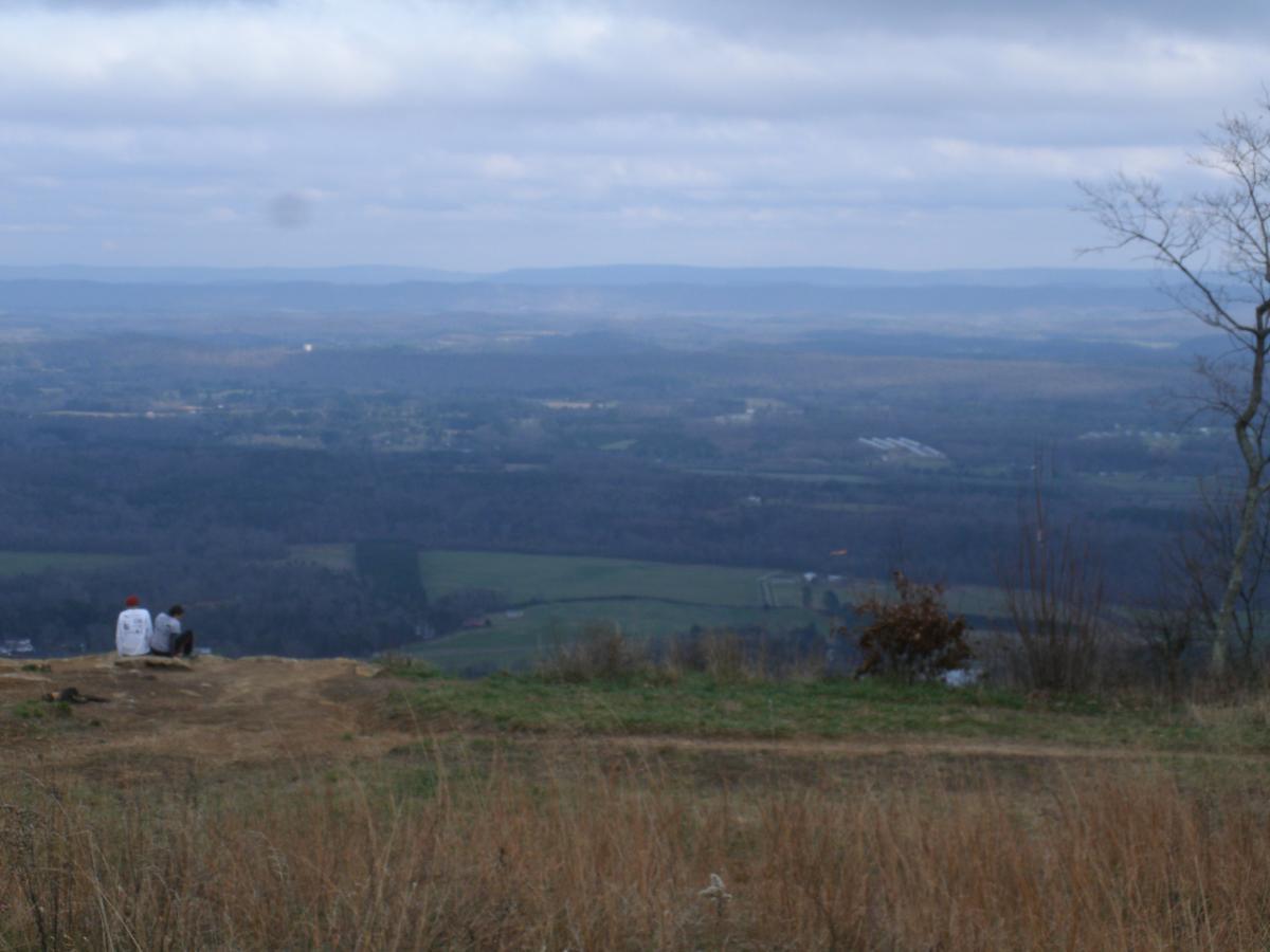
"From Atlanta, take I-75 North. Exit for highway 136. Turn left (west) and go to LaFayette. In LaFayette, take highway 93 North. Go approximately 3 miles. Turn Left at the sign for Pigeon mountain. Go about 2 miles and turn right onto Rocky Ln. Go past the ranger station and up up up the mountain. A very steep and rocky road. Near the top, follow the signs for High Brow Road. Park in the field at the top of the mountain (awesome view, campsite here).


I recently made the mistake of trying to ride the Estelle Mine trail from the Pocket trailhead. I've been riding for a dozen years and never seen a trail as poorly maintained as this. Full of deadfalls, I rarely made 50 feet between them before having to carry over. The trail was also poorly marked, the junctions very hard to find. Sad b/c this could be a fun advanced ride if a little maintenance was done.
| ThankThere is much more than 12 miles of trails available. If you are new to the trails, you will need a map. They have them at the ranger station before heading up the mountain. The trails are different color blazes and many of them end. It takes multiple color blazes to form a loop. It is fun to ride there, but expect to encounter many blowdowns, an old creek bed that will rattle your teeth and a few hike a bike sections. It is a fun place for locals, but there are many other trail systems within 30 miles that are much more enjoyable. The advantage is if you enjoy caving or climbing, this area is one of the best around!
| ThankIf you park at the look out point at the top of the mountain you can pick between two trail heads. We went on the blue trail and it was good. In need of TLC and more riders. It was a little overgrown with plenty of trees crossing the trail. A couple sections were so steep you had to carry your bike on your back just to climb up the other side. For the most part it was all levelish single track with cool rocks and boulders. All and all we rode 6 miles and had a cool adventure.
| Thank