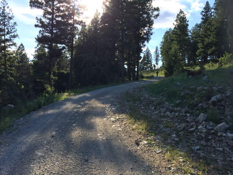
FR 5661, also "Eight Mile Road", is a gravel forest road that when taken by itself is a rolling, 16 mile out-and-back with numerous old logging roads (most unsigned) shooting off either side. There are sweeping views of distant ridges located along the south side of the road.
The gradient is fairly mellow along 5661, with only a few sections requiring moderate effort.
All of the signed, closed logging road offshoots running off of T5661 are pretty similar. Trail surface not full established, so expect to ride over some grass. There are also tons of other unmarked logging roads off of each of the trails listed below, so plenty of room to explore.
T5661C, the first of the signed logging trails, is located about 4.8 miles on the right. Trail length: 1.1 miles.
T5661D appears shortly after T5661C (mile 5.2 on right). Trail length: 0.5 miles.
T5661F (at mile 5.3 on right) is 2.6 miles long.
T5661Q (at mile 6.6 on left) is 0.8 miles.
T5661H (at mile 6.8 on right) is 0.4 miles.
Map available here:
http://www.fs.fed.us/r3/lincoln/maps/TMR-GIS-42_PumphouseRidge.jpg
This is a pretty fun gravel road ride. Good rolling ride with possibility for hitting high speeds. Watch the corners. Gravel has a way of sliding out from under your wheels.
This is a good beginner-level ride, of which there's not many in Lincoln National Forest. Most of the trails in this area require either some degree of technical skill to navigate rocks or aerobic conditioning to overcome lack of oxygen on the climbs.
This is probably the most mellow of all the trails I've ridden in this area, and suitable for beginning mountain bikers.
Nice views along the way.
Trail can be as long or short as you want it to be. Just ride 5661 for a 16 mile out and back. Add the side trails into the mix for something longer. FR 5663 (Sullivan Canyon) could be thrown into the mix for something more epic.
| Thank