×

|
Rate it:
Tags:
Level: Intermediate
Length: 8 mi (12.9 km)
Surface: Singletrack
Configuration: Loop
Elevation: +71/ -20 ft
Total: 3 riders
Mountain Biking Rangataua Forest
#109 of 172 mountain bike trails in North Island
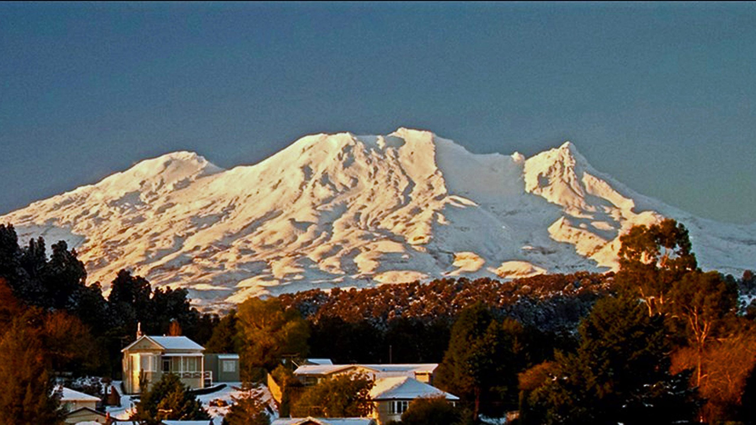
Rangataua Road is an old metal forest road which winds through the Rangataua Forest on the lower slopes of Mt. Ruapehu. This track starts at the Rangataua Village rail tracks and follows old 4x4 logging tracks and single track.
First added by Ginny_Tory on Jun 5, 2014. Last updated Sep 17, 2024. → add an update
Before you go
- Drinking water: unknown
- Lift service: unknown
- Night riding: unknown
- Pump track: unknown
- Restrooms: unknown
- Fat bike grooming: unknown
- E-bikes allowed: unknown
- Fee required: unknown
This trail information is user-generated. Help improve this information by suggesting a correction.
Starts at karioi Station Road off of SH 49.


I haven't ridden Rangataua Road but I'm fairly sure that if you're in Ohakune and looking for a ride then the Old Coach Road is a better option. Here is a description of Rangataua Road from http://www.the-hobbit.co.nz/activities-ohakune.html
"Rangataua Road is an old metal forest road of approximately 12km, located via Karioi Station Road off SH 49) that winds through the picturesque Rangataua Forest on the lower the slopes of Mt Ruapehu. The suggested route is shown on the Ohakune Scenic Trail Loop Map - travel the 4.6km North Track from point J to G returning to Rangataua via Middle Track and the metal track alongside the railway. Both these tracks are single bike trails. West and Middle Track have other users and may be in poor condition when wet."
For a trail map look here: www.tcb.nz/media/web_images/Rangataua map.pdf
| Thank