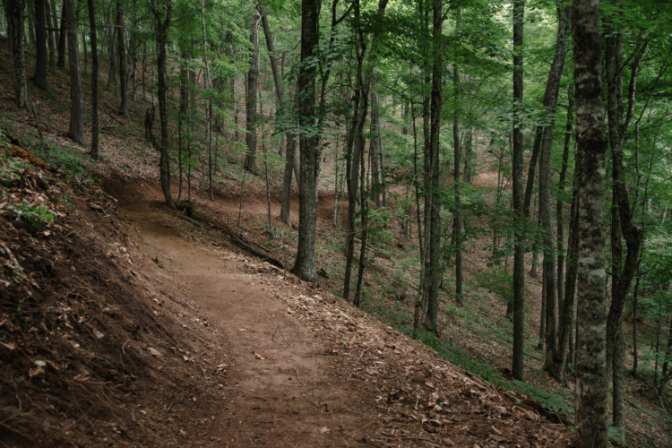
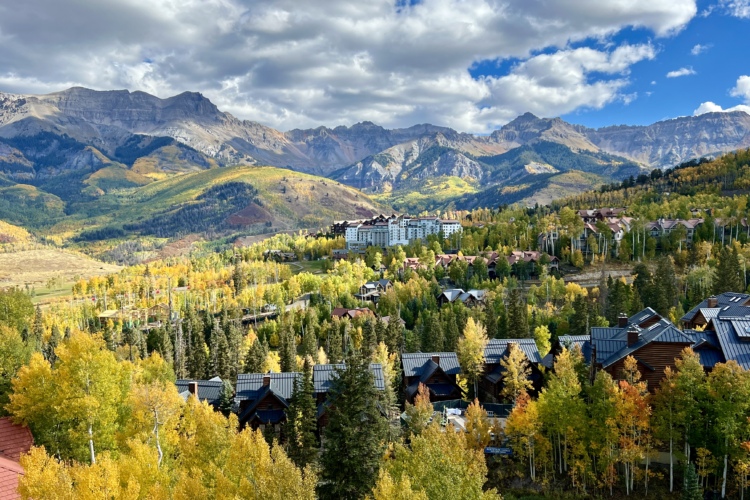
14 Trails in Slatyfork, West Virginia
| Trail Name | Difficulty | Length (mi) | Rating | City |
|---|---|---|---|---|
| Bear Pen (modified) Loop |  |
17.0 | Slatyfork | |
| Western Territory (Snowshoe Bike Park) |  |
8.0 | Snowshoe | |
| Gauley-bearpen-boundary-shoals-loop | |
17.0 | Slatyfork | |
| Snowshoe Bike Park |  |
25.0 | Snowshoe | |
| Red Run-tea Creek-brannock-gauley | |
62.0 | Slatyfork | |
| Greenbrier River Trail |  |
76.0 | White Sulpher Springs | |
| Props Run Trail | |
9.0 | Slatyfork | |
| Gauley Headwaters | |
37.0 | Slatyfork | |
| Gauley Mountain Trail | |
5.0 | Slatyfork | |
| Red Run Trail | |
2.0 | Slatyfork | |
| Cow Pasture Trail | |
7.0 | Cranberry Glades | |
| Tea Creek Mountain Trail | |
5.0 | Slatyfork | |
| Kennison Mtn Trail |  |
20.0 | Pocahontas County | |
| Seneca State Forest | |
40.0 | Dunmore |
Know of a new mountain bike trail not listed here? Please tell us about it using this form. Find mountain bike trails near you or for even more trail inspiration and how we ranked the mountain bike trails, see this list of the best mountain bike trails in the world.