×

|
Rate it:
Tags:
Level: Beginner
Length: 30 mi (48.3 km)
Surface: Fire Road
Configuration: Network
Elevation: +482/ -481 ft
Total: 15 riders
Mountain Biking Sleepy Creek State Park
#41 of 112 mountain bike trails in West Virginia
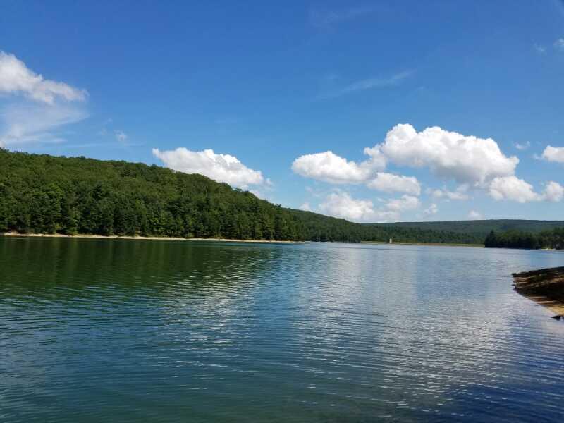
I usually park close to the ranger station and hit a few fire roads that connect to some old equestrian trails as well as some singletrack. Nothing is marked around this area but there are a few marked trails on top of the mountain that are primarily hiking trails to the lake from various camping spots.
First added by TheWVPedaler on Mar 15, 2011. Last updated Apr 28, 2020. → add an update
Before you go
- Drinking water: unknown
- Lift service: unknown
- Night riding: unknown
- Pump track: unknown
- Restrooms: unknown
- Fat bike grooming: unknown
- E-bikes allowed: unknown
- Fee required: unknown
This trail information is user-generated. Help improve this information by suggesting a correction.
From I-81 go west on RT.9 (exit 16W) and go approximately 15 miles or so and then a left onto back creek vally road. There are signs for the park as well. You will travel on that road to a town called Jones Spring. Once through that town begain looking for the park sign on your right. This is also directions to the lake.


Good Trail
| ThankI have ridden in this state park many times in my life considering my parents land butts up against the public hunting ground portion of the park. There are many equestrian trails and hiking trails. There are a few spurts of singletrack but nothing marked or laid out. If you head up this way plan on some exploring inless your riding the hiking trails by the lake.
| Thank