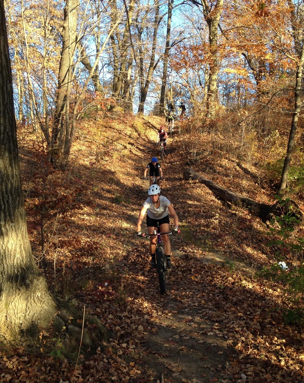
There are abundant urban legends surround this trail, including a haunted 19th-century graveyard, unmarked Native American burial grounds, a witch buried under a tree, and caves used by devil worshippers. In the past, locals would bring the curious out to the area, but now it is becoming one of the most scenic mountain bike destinations around Saint Joseph.
This is the core trail for this developing system. It is easily reached from I-229. Take the Highland Ave. exit. Turn east, on Highland, and at the first road (Huntoon Rd.) turn left. Follow this twisty road to the Sunbridge Hills parking lot. It is also a short bike ride from the western tip of Krug Park MTB trail, as well.
The trail is best ridden counterclockwise but is rideable in both directions. The upper portion has many water bars, but they aren't too hard to negotiate.
Heading counterclockwise, you'll pass an old cemetery and a steel observation deck. After the steepest water bar section, you'll turn off the main trail, heading south. There are two ways down. The first left is the easier benched way down. The second left is a very steep downhill with a G-out before a left turn that has a bit of exposure. You decide which is best for you. The views past the turn-offs are worth your time to check out before heading down the hill.
The "lower" section of the trail has some rock, but this section is not necessarily technical. There is a substantial drop-off beside the trail in places. A few places are narrow and the exposure is quite high so it is NOT a place to bring the kids out for a ride.
Use the GPS to remind yourself to turn back up the hill. Trails continue to the south and the turnoff can be easily missed. The climb out isn't as steep as the data suggests. It is an easy, although somewhat rocky, climb on a VERY old roadbed with a pleasant grade. Don't forget to take the left turn at the top. If you come out at the road, then you just passed it a few yards back.
After passing the big white water tanks, and passing under power lines, the original trail keeps straight and is very obvious. However, for the best experience (and some more hills), the newer extended trail branches off to the right into the trees eventually emerging at the parking lot.
Most of the trail provides incredible views of the river valley. Trying to mark them all on the map would fill the map with "view" symbols. Due to areas of exposure, be sure to look at the trail when moving!