×

|
Rate it:
Tags:
Level:
Length: 2 mi (3.2 km)
Surface: Singletrack
Configuration: Network
Elevation: -
Total: 0 riders
Mountain Biking Tote Road Trail
#997 of 1,379 mountain bike trails in British Columbia
This bit of single track is short, but it's a great bit of trail. There are a few deep muddy spots that never seem to dry up...you may have to walk through these spots. Otherwise, there are some steep rocky sections in a deep woods terrain. Also, there is a creek crossing, but a hiking bridge keeps your feet dry. See the pictures I added for a map of the trail.
First added by on Jan 1, 2013. Last updated Apr 28, 2020. → add an update
Before you go
- Drinking water: unknown
- Lift service: unknown
- Night riding: unknown
- Pump track: unknown
- Restrooms: unknown
- Fat bike grooming: unknown
- E-bikes allowed: unknown
- Fee required: unknown
This trail information is user-generated. Help improve this information by suggesting a correction.
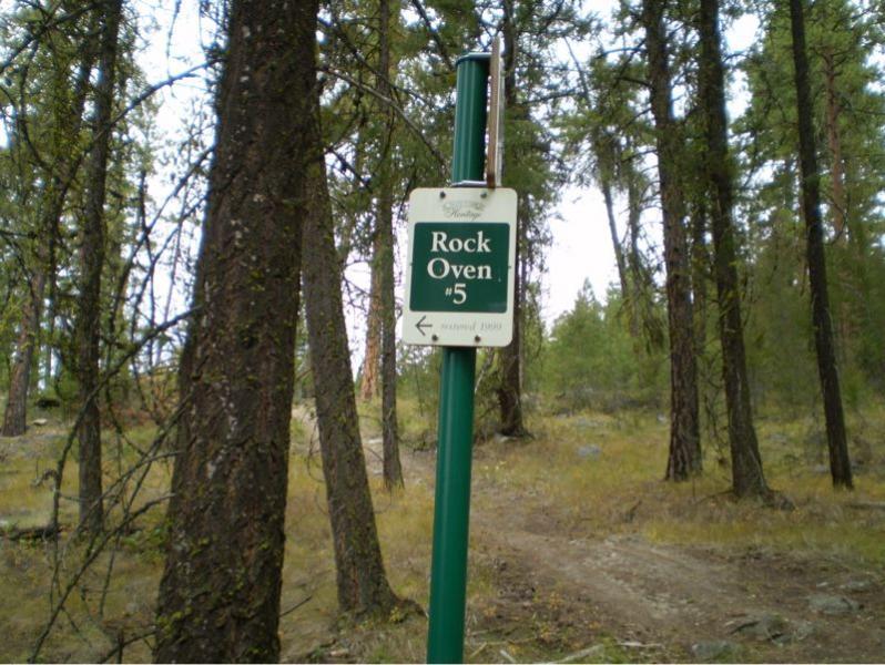
This trail is accessible via the KVR at Naramata at the Rock Ovens Provincial Park. There is a sign posted at the trailhead.