×

|
Rate it:
Tags:
Level:
Length: 12 mi (19.3 km)
Surface: Doubletrack
Configuration: Out & Back
Elevation: +206/ -103 ft
Total: 3 riders
Mountain Biking Trail 18 ("rio Grande Del Rancho")
#134 of 283 mountain bike trails in New Mexico
Something for everyone here. A moderate ride that intermediate and expert
riders can have a great time ripping through as well. The trail starts with a
steep rocky bit, but quickly mellows out. Make a right and ride roughly
parallel to rte. 518. The trail is well marked throughout, though there are a
few options which pop up here and there. At 5.8 miles, the trail connects
with Forest Rd. 438, which, takes you back out toward Rte. 518. Then ride
the road or the trail back to where you parked.
First added by mattvb on Oct 20, 2012. Last updated Apr 28, 2020. → add an update
Before you go
- Drinking water: unknown
- Lift service: unknown
- Night riding: unknown
- Pump track: unknown
- Restrooms: unknown
- Fat bike grooming: unknown
- E-bikes allowed: unknown
- Fee required: unknown
This trail information is user-generated. Help improve this information by suggesting a correction.
From Taos, head south on rte. 68, then turn left on rte. 518. After 2 miles,
Pass the brown sign for forest road 473. Then after .5 miles, at the brown sign
for "Trail 18," there is a parking pullout on the right. The trailhead is on the
other side of rte.518

Pretty pine forest traversed by mostly boring doubletrack. The environment is pleasing but what's actually under your knobbies is of little interest. Can be a good training ride, especially when combined with adjacent fire roads.
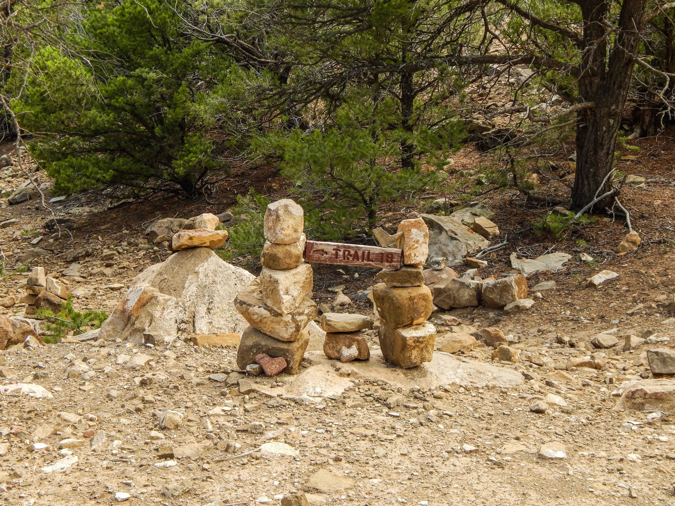
| ThankRode this trail N-S and back. Pretty fun easy ride, lots of smooth flowy sections and a few mildly technical rocky sections. From the north trailhead the first couple hundred meters climbs a steep rocky wash then intersects with the old Rio Grande del Rancho road which is the trail. There is a cairn holding a Trail 18 sign at this junction. I think to the north this road connects with the Talpa Traverse somehow. From the cairn the trail winds south across arroyos and thru high desert/subalpine forests. while most of the trail surface is pretty smooth and there's clear bike routes worn into the rocky sections, watch out for scattered loose rocks and deep drainages where water flows across the trail during storms. The southern couple miles are old forest roads with lots of potential campsites and routes to explore. The return ride was much faster with more downhill. Berms and a few jumps have developed and there's potential for more features to grow if this trail is ridden more. There are some nice views of the Truchas peaks and evidence of old mining operations along the trail.
| Thank