×

|
Rate it:
Tags:
Level: Expert
Length: 9 mi (14.5 km)
Surface: Singletrack
Configuration: Loop
Elevation: -
Total: 18 riders
Mountain Biking Tucker's Trail
#29 of 114 mountain bike trails in New Hampshire
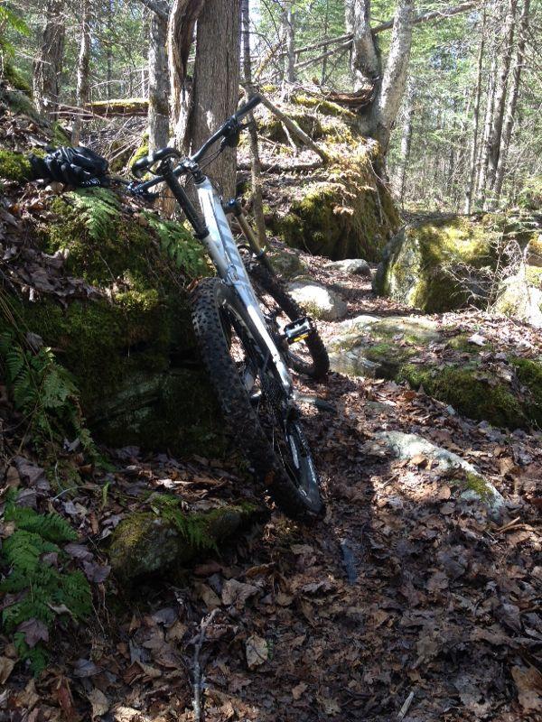
Tucker's trail will be enjoyable to all single track riders, beginners will have to walk parts of it, experts will be totally entertained. The views are spectacular, and the forest is beautiful. In addition to this trail there are over 50 miles of interconnecting single track, and then hundreds of miles of double track
First added by searsandrewj on Oct 25, 2003. Last updated Apr 30, 2020. → add an update
Before you go
- Drinking water: unknown
- Lift service: unknown
- Night riding: unknown
- Pump track: unknown
- Restrooms: unknown
- Fat bike grooming: unknown
- E-bikes allowed: unknown
- Fee required: unknown
This trail information is user-generated. Help improve this information by suggesting a correction.
I-93, exit 38, go through blinking light to Harvard St, go to end of road, trail starts at Fox Hill Park. Head up fairly steep hill, about 200 vertical feet, at about 100 feet past the height of land there is a junction, go either way, because it's a loop. Remember to turn the opposite way you chose when coming upon other junctions otherwise you won't come back to the starting point. When you get to a cul de sac, just continue across, the trail continues on the other side. Enjoy volkswagon rock!

Still needs time to dry out without wrecking the trail in spots. Fun technical trail. A good trail that showcases what our state is known for...granite rock ha ha. It should be noted that you need to take the gale river trail out to tuckers or cut through the campground off route 18.
| ThankHeaded up to Franconia to ride the trail.....Very impressed by the quality of the singletrack - some real technical narrow twisty stuff - very enjoyable. Certainly an intermediate to expert ride - though beginners would do well to practice here. Forest is beautiful and the gale river is nearby for a swim. Dont have to worry about crowds here...The problem I had was finding all the interconnecting trails and double-track.....IF anyone is famaliar with the trail network I would appreciate a post describing the additional trail network...the only additional trail I was able to find was a singletrack trail that I followed for a couple miles that went by various houses/property - I turned around after two miles as it was getting dark...anyways any info would be appreciated.
| Thank