×

|
Rate it:
Tags:
Level: Intermediate
Length: 8 mi (12.9 km)
Surface: Singletrack
Configuration: Network
Elevation: -
Total: 3 riders
Mountain Biking WarM Springs Trail
#69 of 319 mountain bike trails in Idaho
This eight-mile, uphill/downhill hiking and biking trail has it all. It winds through the open meadows to Monarch Ridge, where a 100-yard hike brings you a panoramic view of the entire Bassett Gulch drainage.
From there, it's all downhill as
you cruise through the woods to the base of Warm Springs.
First added by justin70 on Jun 29, 2014. Last updated Apr 28, 2020. → add an update
Before you go
- Drinking water: yes
- Lift service: yes
- Night riding: unknown
- Pump track: unknown
- Restrooms: yes
- Fat bike grooming: unknown
- E-bikes allowed: unknown
- Fee required: unknown
This trail information is user-generated. Help improve this information by suggesting a correction.
Part of Bald Mountain


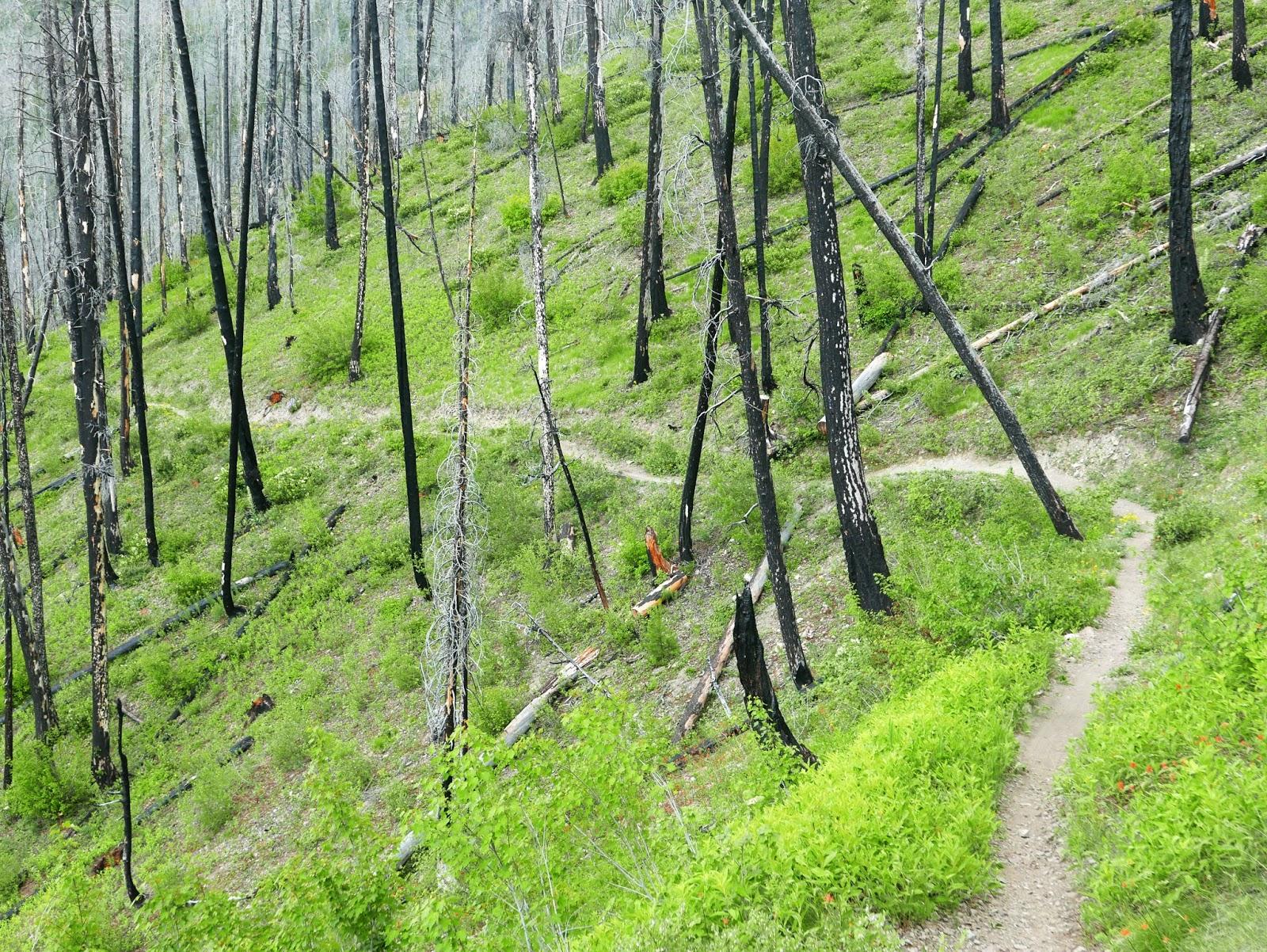

Great dh trail off the top of Sun Valley. Start early and do a fun laps up high at the resort and then do one or two laps down Warm Springs to end the day, amazing trail with great views and flowy singletrack. The bottom section through the pines is my favorite!
| ThankI'm not a big fan of these old-school trails short on technical features. But the views are great and the speed is exhilarating in places if you're going down. The gradient is fairly constant - steady but not steep. About two-thirds of the way down you'll come to the Traverse Trail. It's a good idea to take it across to River Run for a curvy finish.
| ThankRipping fast descent (minus an annoying little climb in the middle). Wide open terrain you can just let go on!
| ThankMy favourite outer loop on the mountain.
I particularly like the descent after the mid-trail climb.
Surface is dirt with rock/shale sections, so it can be loose sometimes and occasionally rocky. Stay awake!
| Thank