×

|
Rate it:
Tags:
Level: Beginner
Length: 3 mi (4.8 km)
Surface: Singletrack
Configuration: Network
Elevation: -
Total: 4 riders
Mountain Biking McMillan Trail
#188 of 279 mountain bike trails in Texas
Poorly maintained short trail but good if you're looking for something close to home
First added by searsandrewj on Jan 21, 2013. Last updated May 1, 2020. → add an update
Before you go
- Drinking water: unknown
- Lift service: unknown
- Night riding: unknown
- Pump track: unknown
- Restrooms: unknown
- Fat bike grooming: unknown
- E-bikes allowed: unknown
- Fee required: unknown
This trail information is user-generated. Help improve this information by suggesting a correction.
take fm 544 to Counrty Club Rd make a right at Park Blvd trailhead is behind the Jr High

I'm no expert on this trail, it doesn't show up as part of the DORBA trail network but I thought I would give it a try. It's the closet to my house so I chose to try it out when it should be dry.
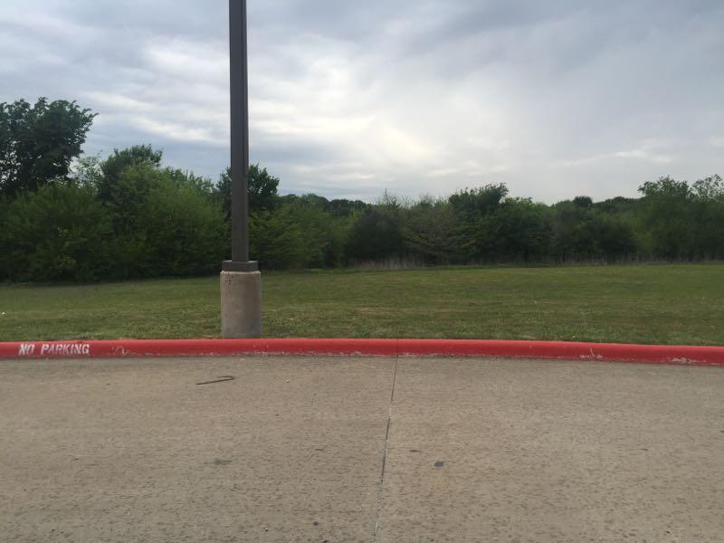
Single track, first time out there, photo is of the trailhead i used coming out of the school parking lot, I went on a Saturday so no one was there. Single track to start the trail is in decent shape, once you enter the trailhead stay right, left is completely overgrown and boggy in places even after two weeks of no rain. You'll come up to one creek crossing then another, from the second one head left to follow some single track under the bridge which turns into a ATV trail based on the track width of the trail at this point.
Nothing technical, this is basically a green lane ride save getting across the water creek / water crossings which I would assume would be impassible after lots of rain.
| Thank