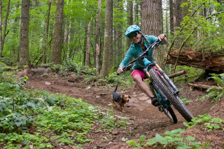
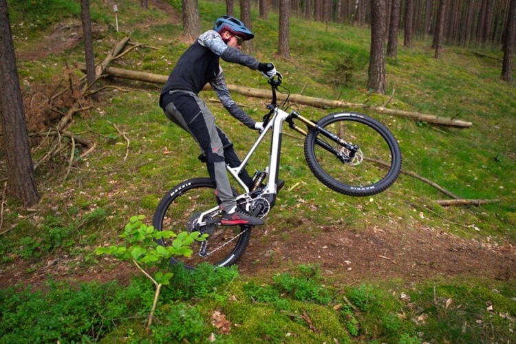
A brand-new singletrack section of the Pinhoti Trail in Georgia is being officially opened on May 3rd! The Georgia Pinhoti Trail Association will be hosting a grand opening celebration on that Saturday at 3pm at the new parking lot on Dennis Mill Road.

The land that the new section of trail was built on was purchased by the Conservation Fund, in an effort to reroute all of the remaining road segments of the Pinhoti Trail to provide a true, uninterrupted wilderness experience.
The Pinhoti is the longest mountain bike legal trail in Georgia, running over 100 miles “from the Alabama Line in Polk County, GA to the Benton MacKaye Trail near the Cohutta Wilderness,” according to SORBA. This new trail segment will add a whopping 20 miles of blazed trail!


3 Comments
Apr 29, 2014
You can get 20 miles one way on single & two-track by doing this apparent rerouting of Pinhoti 6-5-4 by adding P3. Start from the obvious new parking lot on Dennis Mill Road (about 1 mile north of Hwy 282/76, nearer to Chatsworth than Ellijay). As an out-and-back this makes for what Earthdog calls a “Fat Forty”, a real endurance ride with a lot of rolling climbing, multiple creek crossings, fast two-track downhill and some gravel road. We did it on singlespeed, and I wished for more than a 19 tooth in back. The initial climb of ¾ mile is seriously stout, and it seems about 60/40 climbing/descending starting from this direction. While the “new” singletrack seems limited to about 3 miles, thereupon connecting the old two-track, it is a pleasant and challenging endeavor. Here is the trail beta:
Directions:
• I-75 North – Exit 393
• Hwy 411 North (for 25 miles)
• Right on Hwy 136 (0.25 miles)
• Left on Dennis Mill Road (1+miles)
• Obvious large gravel parking lot on right. Small Pinhoti trail blaze on North side
• (if you opt over from Ellijay, it is 16.5 miles along 282/76 to the turn-off)
“Fat Forty Ride”:
• Go about 3/4 mile up very challenging tight switchbacks
• Turns to machine cut for about 1.5 miles, nice rolling up
• At about 2.5 turns to old logging road two-track. Rolling up for a while
• At 8 miles cross a creek (we flushed an actual pinhoti [turkey] off the trail; special effects)
• Roll up then down to FS Rd 3A (ATV trailhead)
• Down left and start going up the gravel road, keeping an eye for Right Turn down to stay on trail
• Arrive at “Ten Mile Meadow”, 10 miles to here, and cross it
• Go through multiple creek crossings, staying pretty much on main track while passing a number of campsites.
• Head up, up for a couple of heinous miles and top out about 13 miles in
• Down a dirt road, but just at the bottom before it turns uphill, look right (you’ll be going fast) and turn in onto P4 at a silver gate (about 13.5 miles) [Note: if you miss this, you’ll end up going up the gravel road to 52, and Ft. Mountain State Park is about 2-3 miles left on 52]]
• After only 300-400 feet angle down left onto tight, fun P4 singletrack (going fast, and may miss)
• Enjoy this all the way to Hwy 52, turn Right and go about ½ mile to the top of P3 (obvious sign on left)
• Ride down perhaps the best singletrack in GA for 3.5 miles and come out near Mulberry Gap (19.5 miles)
• Turn Left for ½ mile up the gravel road and down to refreshments at Mulberry Gap mtb center (20 miles)
• Now Turn it Around to finish your “Fat Forty”
It is significantly more uphill starting at the Dennis Mill Road parking trailhead, that 60/40 split since you basically will climb all the way to 52 near Ft. Mountain State Park, before hitting P3 downhill. So you’ll really like starting there when you’re on the way back. We did the ride in perfect weather on Saturday, April 26, 2014.
Ultra Endurance Options:
• Add P2 and P1 to get another ten miles out or so (multiply by 2), and make this into a sick challenge (we are adding it to our 66.6 [Sick-Psych.sic] Series for sure).
• Another alternative is to head to Ft. Mtn State Park after you hit 52, and rip some of that trail for more fun and adventure. I bet you could get really pumped.
Apr 29, 2014
Apr 29, 2014
Happy trails!
-Greg