
I bumped into Shawn Gillis, the owner of Absolute Bikes in Salida, Colorado, and we started chatting about an article I was working on about pros’ favorite trails. While I wasn’t able to get a detailed quote from him in time for the article, he did mention to me that his favorite trail, hands-down, was Alpine Tunnel.
Alpine Tunnel was already on my hit list for the coming season, but Shawn’s glowing recommendation rocketed the trail to the top of my list. Favorite trail EVER? And this coming from a guy who’s ridden pretty much everything there is to ride in the Salida area (which is, quite honestly, flush with world-class singletrack), not to mention who-knows-how-many trails the entire nation over?
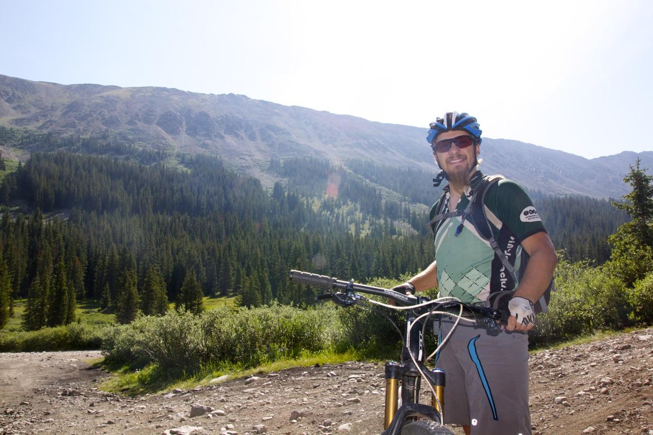
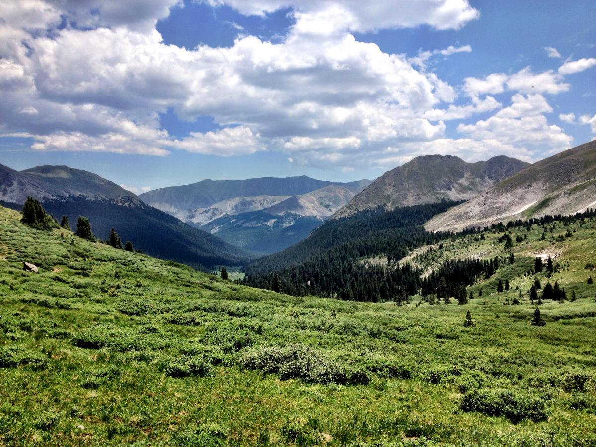
The opportunity to check out this hidden gem finally arose when Jeff dropped by Salida for a quick weekend of riding. While we, of course, had to ride the Crest and some of the great, new in-town trails, we put Alpine Tunnel high on our to-do list. Promising plenty of climbing, interesting history, and a plethora of above-treeline vistas, we had to go for it!
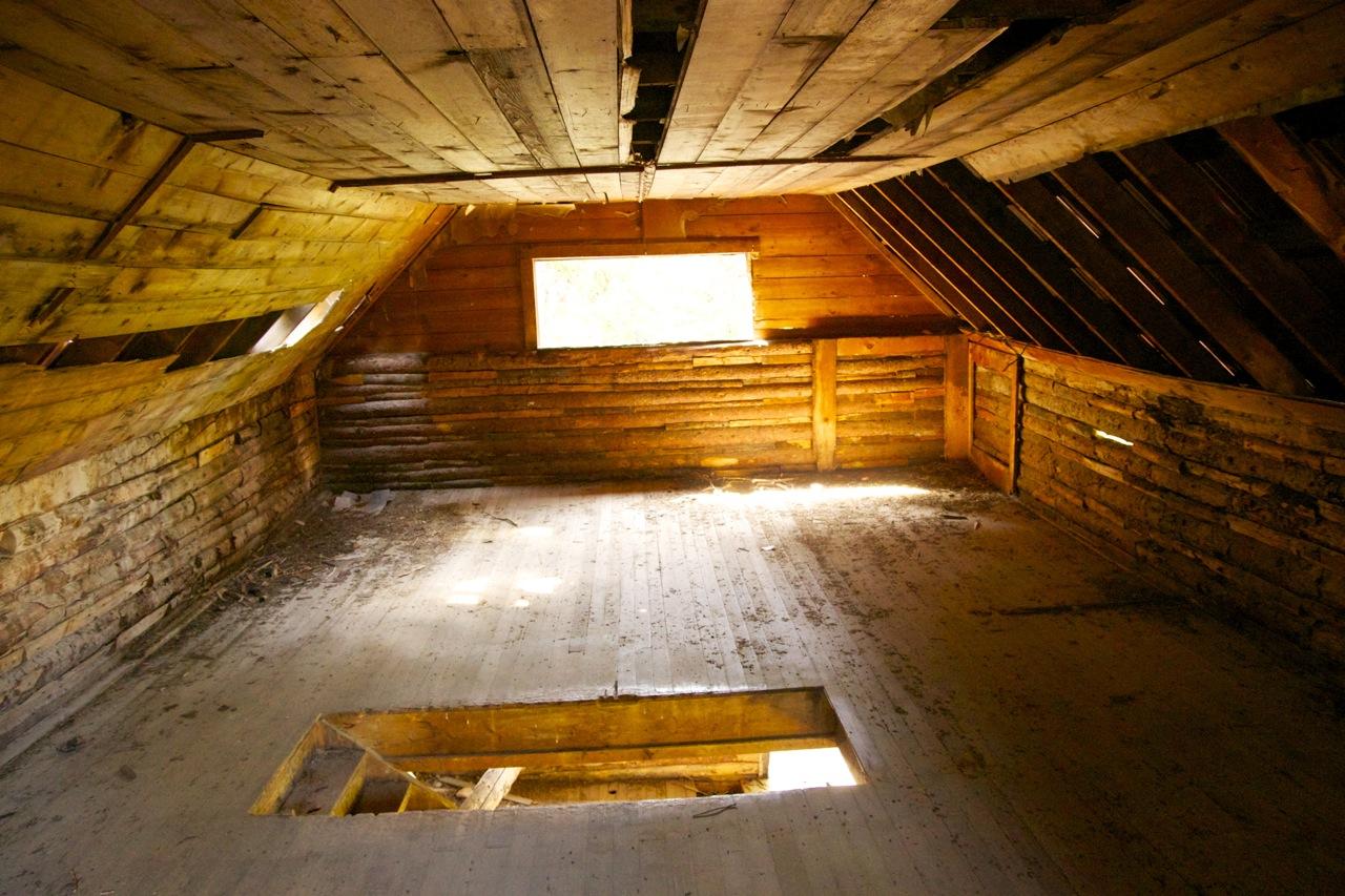
We decided to ride what we thought was the classic loop from St. Elmo, which was delineated in the topo map uploaded to the Singletracks listing. The route climbed up from the ghost town of St. Elmo to the Hancock townsite, via an easy, sloping dirt road grade. Along the way, we passed by numerous abandoned mines, cabins, and other historical relics:

After turning right at Hancock, we pedaled along the old doubletrack railroad grade for several miles, until we finally reached the rockslide over the tunnel entrance.

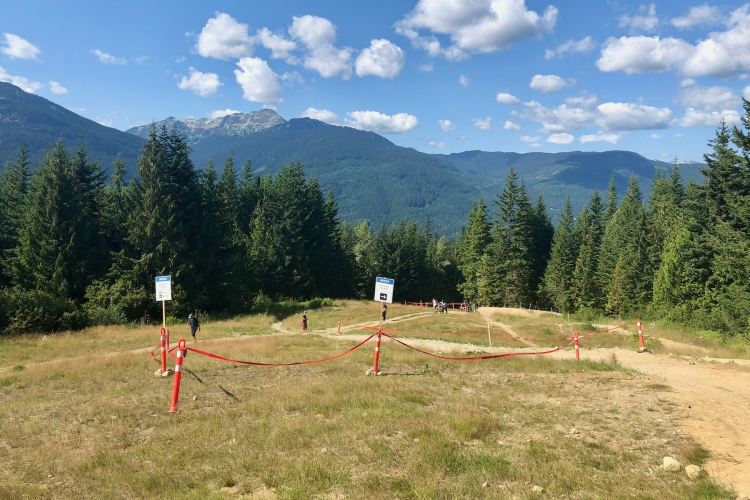
Honestly, reaching the east tunnel entrance was a bit disappointing, as there wasn’t much to see besides a rock slide and several historical markers. Word on the street is that the western exit is more impressive, but we weren’t about to drop down the wrong side of the Continental Divide, only to have to climb back up again.
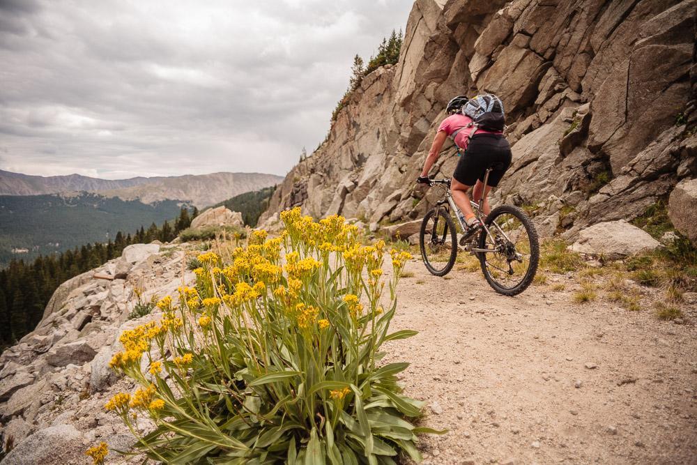
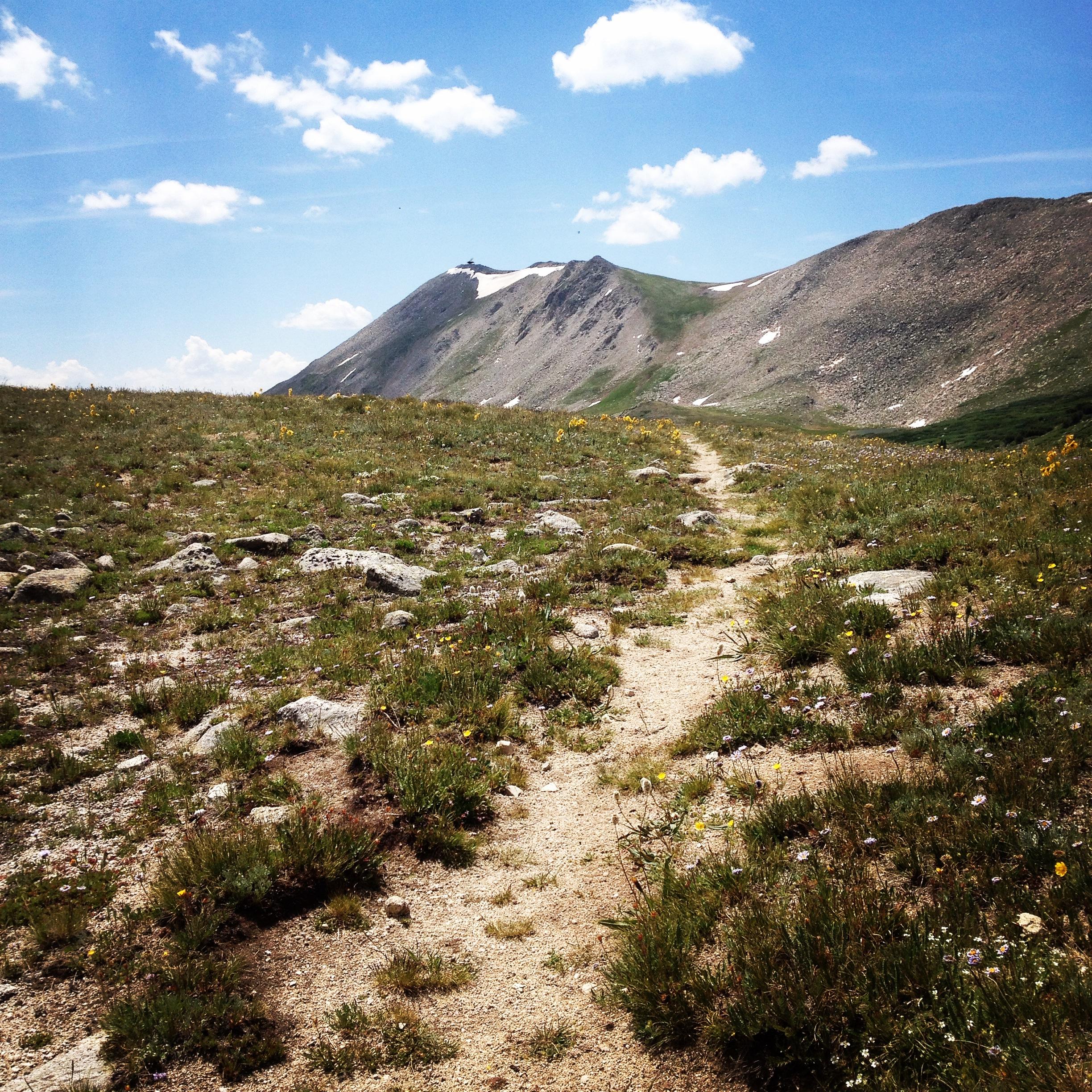
However, we did spot a steep, narrow trail winding up to the ridgeline: finally, some real singletrack! While we were out to complete the loop, it turns out that several other groups of riders who had arrived at the historical tunnel site with us were only doing this ride as an out-and-back. We thought that a bit strange, and as we hike-a-biked our way toward treeline, we realized that everyone who had turned around was truly missing out!
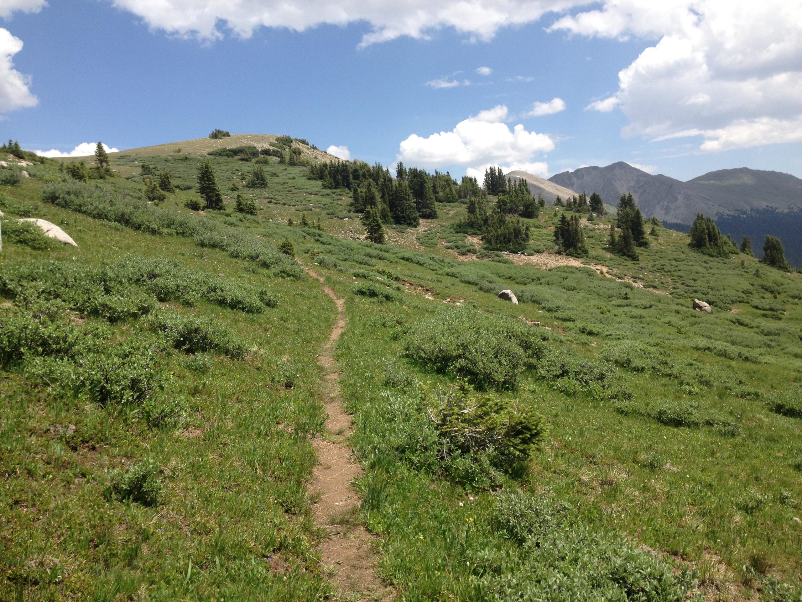
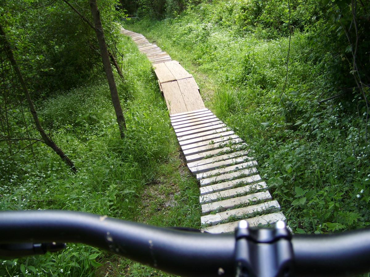
The higher we climbed, the fainter the singletrack became, until the trail shrank to a grassy track less than 6 inches wide in spots. While other parts of this route were heavily traveled, this section was NOT! The route (as posted to Singletracks by lostcause) seemed like the most logical way to ride this trail, but if the faintness of the track was any indication, there are radically few people who complete this ride as a full loop.

As we continued to climb, Jeff and I began to banter good-naturedly about what exactly qualified as “above treeline.” According to Jeff’s assertion, we hadn’t broken above treeline on the Monarch Crest the day before. Sure, we had gotten close, but had we really passed it?
I countered that treeline goes up and down and isn’t a straight line, so that it depends what aspect of the slope you’re on. Jeff countered and said that well, that didn’t really count if you could look across the valley and see trees high above you. But as we continued to climb, we wondered: would we break above Jeff’s definition of treeline?
Our ride topped out at a 12,300-foot saddle… and while maybe we hadn’t truly surpassed treeline the day before, it was pretty easy to assert that we had today!

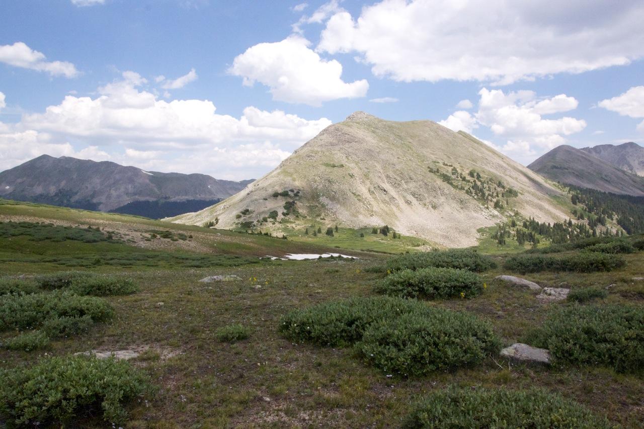
As we looked around us at the rocky, barren mountains towering above our heads, I pulled out my map to see what their names were. While a couple of the them were labeled, many of the peaks surrounding us, just barely under 13,000 feet, didn’t have any monikers whatsoever. Only in Colorado are 12,000-foot peaks not deserving of names…
Finally, after slogging our way up endless gravel roads and crossing gorgeous above-treeline mountain passes, our wheels were pointed firmly downhill! We picked our way gingerly along the narrow goat track, but as we descended further down the other side of the mountain pass, the trail gradually widened. And, shocker: we actually saw some other trail users! A few hikers and backpackers were working their way up from Tincup Pass Road.
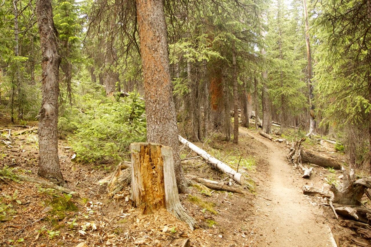
Slowly the trail opened up, allowing us to gain more and more speed, ripping down the mountain side! Suddenly, the singletrack funneled into the trees, and changed disposition all at once to a smooth, well-groomed, switchbacked trail. It was clear that this section of trail had been re-routed within the last few years, and I just grinned from ear-to-ear as I coasted my way down through the deep pine trees, taking in the scents and the delicious flow of the trail. While the singletrack begged to be shredded, with all of the switchbacks I just decided to cruise and take my time, enjoying a welcome reward after the long climb earlier.
Sadly the singletrack descent came to an end, and we turned right down Tincup Pass Road to lead us back to St. Elmo. Still, I love me a good, fast, chunky 4×4 road descent, and Tincup was blazing fast! I blasted through mud holes, aired off rollers, skimmed over rocks, and passed about a dozen jeeps and ATVs as they arduously picked their way down the mountain.
According to Strava, my max speed was 37.4mph… and it was definitely on this final section! t’s always a pleasure to pass a motorized vehicle on my bicycle–what a great way to finish an already spectacular ride!


1 Comments
Aug 21, 2014