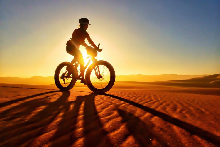
Is it just me, or did the “Godzilla El Nino” not get the memo? It’s winter, or at least it should be for a few more weeks. Both winter and spring in Colorado are actually great opportunities to ride fat bikes, especially in the high country. Though this season has seen somewhat variable snow conditions (read: disappointing), Buffalo Creek is usually a great place to get the rust off of the legs on your fatty. It’s usually either totally dry with sweet sandy granite, or covered in a shallow layer of powder for miles and miles.

In warmer months, Buffalo Creek is actually a very popular destination, with 60+ miles of buff singletrack, earning it the nickname “Buff Creek,” and trails for almost every style of rider. I’ve been taking my fat bike to Buffalo Creek for the past three seasons, and my fatty has actually become my weapon of choice no matter what conditions I ride in. Obviously, the fat bike handles snow considerably better than skinnier-tired brethren. However, fat bike tires also seem to handle the dry, loose, decomposed granite and large rock rollers better than other bike/tire I’ve ridden there, including the on the double back diamond Blackjack trail.

True, fatties require more power and torque to get those big wheels up the long, sustained climbs at Buffalo Creek, and they require a different riding style to rail corners and negotiate the more technical features. However, once you learn how to ride them there, it’s hard to get back on a “regular” mountain bike and have the same amount of fun.
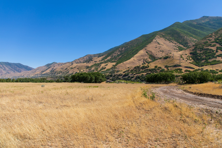
The beautiful but also complicated thing about a trail report at Buffalo Creek is the sheer acreage that the trail system spans, the variable elevation, the mix of shade and exposed areas, and the vast possibilities of trail combinations thanks to all that singletrack. A large storm can roll in and make the entire area virtually unrideable, or blanket the trails in the perfect amount of powder that can stay for days/weeks if the temps are right. Because of its size, however, it is more common to find some trails completely dry, with snow and ice in what we call “perma-shade,” and other trails with deep powder, ice, or rivers of melting snow. It is very important, if you ride this system, to use shops and/or social media to get an idea of trail conditions before you ride… or be prepared for anything in a remote area of wilderness with virtually no cell reception.

Because of these variables, this “trail report” doesn’t highlight one specific route, but rather makes a few suggestions based on my experience. How many miles you want to ride, and how much elevation you are willing to endure, are entirely up to you. If you are familiar with this area, this report is nothing new to you, but if you are new to Buffalo Creek, it can be a daunting area in which to determine a route. The best bet for snow is usually December through March.

Option 1
Off of CR 126, park at Pine Valley Ranch Park, a paved lot with a few basic amenities. From here, you make your way south to and up Buck Gulch. It is a grunt of a climb, even when dry, but snow can make it considerably harder. Most of this winter it has been a mix of melted snow and mostly dry dirt, but earlier in the season I found myself regrettably pushing several hundred yards through deep snow drifts hoping for a faster descent which unfortunately failed to materialize.
From the top of Buck Gulch, after crossing a creek (which is often littered with bear tracks in the snow), you’ll take Skipper to where it intersects Strawberry Jack, then take a right on Strawberry Jack to Charlie’s Cutoff. One of the best descents in the entire area is Charlie’s Cutoff, which is well-rewarded after about an hour of climbing.
Charlie’s intersects with Homestead, and although you could go either direction, taking a left will make this route into a loop to get you back to your vehicle. As a side note, off of Homestead you can take Raspberry Gulch (an awesome technical rock climb) to the very technical Blackjack trail, if you have the time, energy, and skill. Remaining on Homestead northbound, however, will get you back to Strawberry Gulch, which leads to a ripping descent back to where you started.

Option 2
Parking at the more popular main lot by the Ranger Station off of CR 126, take the main dirt road west to climb Nice Kitty, an undulating but occasionally brutal climb full of scenic views. There were two major fires in this area in 1996 and 2000, which removed all of the trees, leaving burnt trunks and views for miles. Nice Kitty intersects the popular Colorado Trail (CT), and to make this loop take a right onto the CT and head toward Shinglemill.
If you have time, and the conditions are right, I highly recommend doing some or all of the new Little Scraggy trail as an out-and-back. Built less than two years ago, Little Scraggy is winding singletrack with fun ups and downs over and between some very large boulders. If you elect to skip Little Scraggy, you can take Shinglemill or Morrison Creek back to the main road to get back to your vehicle.
The benefit of this loop is that it is exposed, which means when the sun has been out for a while it is usually dry. When there is a few inches of packed snow, it is a blast on a fat bike.
Note: some people prefer to do this loop in reverse, and I do admit, Nice Kitty is a nice descent.

Option 3
Again, parking at the main lot across from the Ranger Station off of CR 126, take the dirt road west several miles to Gashouse, a slow but aerobic climb that will take at least an hour, likely two, on a fat bike in snow. I would not recommend doing this unless the trail is dry or packed because this ascent, like many of the others, can be difficult, and is a mix of both exposed and shaded trails. From the top of Gashouse I recommend taking a right onto Miller Gulch, which is relatively flat but a nice break before it starts to climb a ways, then turns into a fast track down. At the end of Miller Gulch take a right onto Sandy Wash, one of my personal favorite descents that is fast, flowy, and full of twists and turns in the trees before it spits you back out on the main road.

As I mentioned, conditions are variable, and all of these loops even on the best of days will take between two and four hours, so come prepared with extra food, water, and clothing. Given the remoteness of this trail system, I would also advise against riding alone, particularly in winter when there are far fewer trail users. Having ridden alone here a couple of times, on rides taking me six to eight hours, I did not encounter a single person on those rides–only lots of animal tracks, including bears.

If you live in central Colorado or are visiting and looking for a place to ride big backcountry fat bike rides not too far from Denver, I would recommend checking out Buffalo Creek if the conditions are right.

Your Turn: How about you? Have you ridden at BC during winter? What route(s) are your favorite?





1 Comments
Mar 24, 2016